Police Helicopter to Margam, M4
Saturday, 25 April 2026 | 1:16 | From MOD St Athan
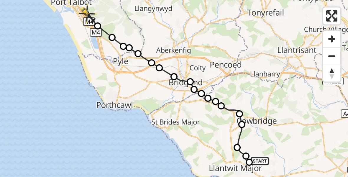
On Saturday, 25 April 2026 at 1:16, a Police Helicopter departed from MOD St Athan to Margam. It was the Police Helicopter with registration number G-NWOI. The flight lasted 8 minutes. During that period, the aircraft travelled 20 miles at an average speed of 145 miles per hour at a maximum altitude of 1175 feet.
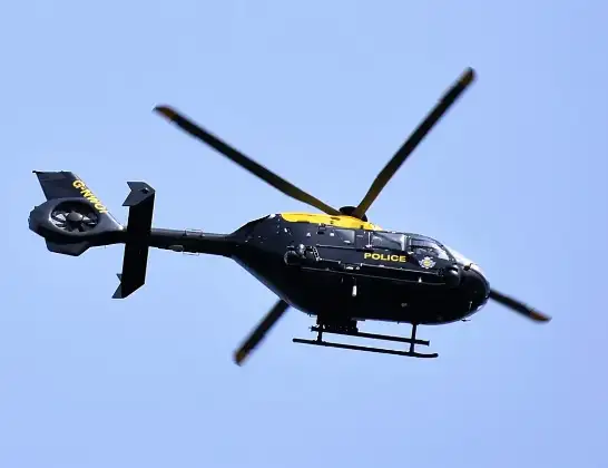
Helicopter: G-NWOI
The helicopter G-NWOI is used by the British police. The helicopter is deployed in pursuits, missing persons cases and other incidents where a helicopter provides added value.
Photo: Alec Wilson
20 miles
1175 feet
145 mph
9 minutes
01:16
01:25

Route
M4, Neath Port Talbot01:25
Margam, Neath Port Talbot01:24
Coed Hirwaun, Neath Port Talbot01:24
Margam, Neath Port Talbot01:23
Kenfig Hill, Bridgend01:23
Pen y Bryn, Neath Port Talbot01:22
Cefn Cribwr, Bridgend01:22
Pen-y-fai, Bridgend01:22
Bryntirion, Bridgend01:21
Bridgend, Bridgend01:21
Corntown, Vale of Glamorgan01:21
Coychurch, Bridgend01:20
Bridgend, Bridgend01:20
Coychurch Lower, Bridgend01:20
Colwinston, Vale of Glamorgan01:19
Penllyn, Vale of Glamorgan01:19
Llysworney, Vale of Glamorgan01:18
Sigingstone, Vale of Glamorgan01:17
Llanmaes, Vale of Glamorgan01:17
Boverton, Vale of Glamorgan01:17
MOD St Athan, St Athan, Vale of Glamorgan01:16
Live flights
Today
Police Helicopter to Monifieth03:27:33
Flights Margam
Police Helicopter to MOD St Athan2 Jun 21:29
Air Ambulance Helicopter to Cardiff Heliport6 May 13:25
Police Helicopter to Margam, M425 Apr 01:16
Police Helicopter to Margam, Geifr Road15 Apr 11:50
Police Helicopter to MOD St Athan27 Mar 17:01
Police Helicopter to Margam, Margam Road5 Mar 21:22
Helicopter flights on your website?
You can easily display helicopter flights on your own website. Use the embed code.
