Police Helicopter to Margam, Margam Road
Thursday, 5 March 2026 | 21:22 | From St. Athan
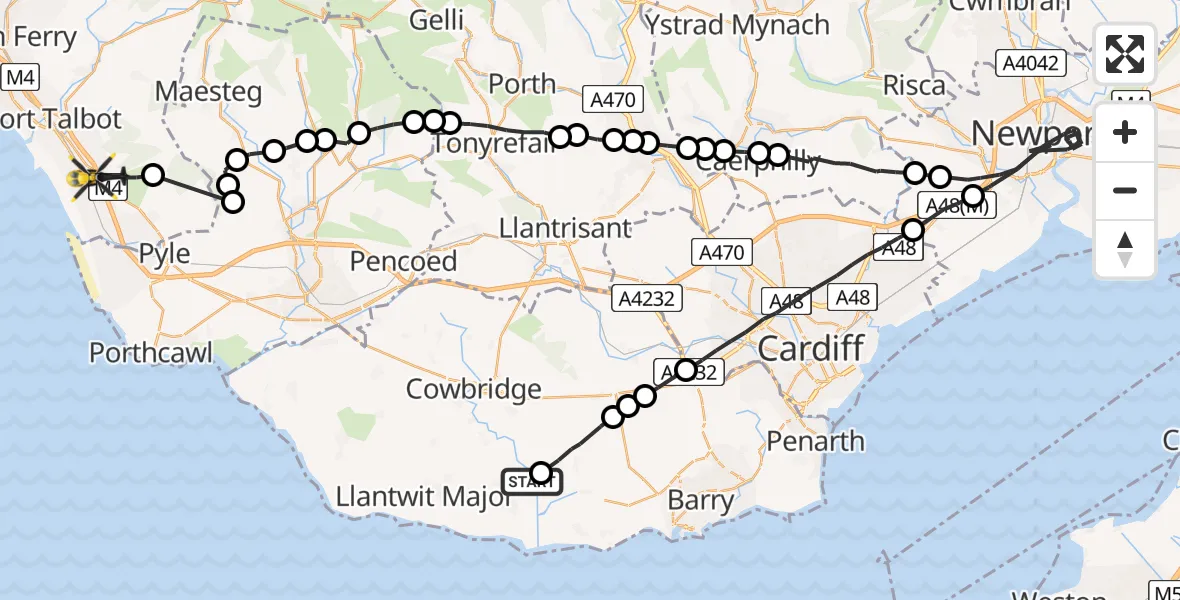
On Thursday, 5 March 2026 at 21:22, a Police Helicopter departed from St. Athan to Margam. It was the Police Helicopter with registration number G-NWOI. The flight lasted 26 minutes. During that period, the aircraft travelled 62 miles at an average speed of 145 miles per hour at a maximum altitude of 2100 feet.
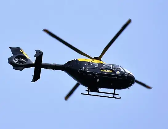
Helicopter: G-NWOI
The helicopter G-NWOI is used by the British police. The helicopter is deployed in pursuits, missing persons cases and other incidents where a helicopter provides added value.
Photo: Alec Wilson
62 miles
2100 feet
145 mph
26 minutes
21:22
21:47

Route
Margam Road, 21:47
Margam21:47
Llangynwyd Lower21:47
Llangynwyd Middle21:46
Llangynwyd21:46
Coytrahen21:45
Bettws21:45
Llangeinor21:44
Lewistown21:44
Ogmore Valley21:43
Evanstown21:43
Gilfach Goch21:43
Tonyrefail21:41
Pontypridd21:41
Y Graig, Pontypridd21:40
Hawthorn, Pontypridd21:40
Rhydyfelin, Pontypridd21:40
Upper Boat, Pontypridd21:39
Penyrheol Trecenydd & Energlyn21:39
Trecenydd21:39
Caerphilly21:38
Bedwas21:38
Rudry21:36
Croes Carn Einion Farm Airstrip, Bassaleg, Newport21:36
Newport21:29
Castleton21:28
Cardiff21:25
St Nicholas21:24
Bonvilston21:24
St Nicholas and Bonvilston21:23
Llancarfan21:22
St. Athan, 21:22
Live flights
Today
Flights Margam
Police Helicopter to MOD St Athan2 Jun 21:29
Air Ambulance Helicopter to Cardiff Heliport6 May 13:25
Police Helicopter to Margam, M425 Apr 01:16
Police Helicopter to Margam, Geifr Road15 Apr 11:50
Police Helicopter to MOD St Athan27 Mar 17:01
Police Helicopter to Margam, Margam Road5 Mar 21:22
Helicopter flights on your website?
You can easily display helicopter flights on your own website. Use the embed code.
