Police Helicopter to Milngavie, Hawthorn Avenue
Thursday, 2 April 2026 | 14:45 | From Waterfoot
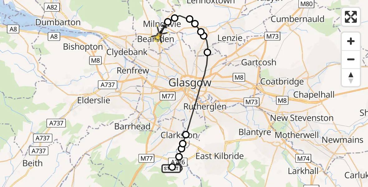
On Thursday, 2 April 2026 at 14:45, a Police Helicopter departed from Waterfoot to Milngavie. It was the Police Helicopter with registration number G-POLS. The flight lasted 19 minutes. During that period, the aircraft travelled 25 miles at an average speed of 79 miles per hour at a maximum altitude of 2900 feet.
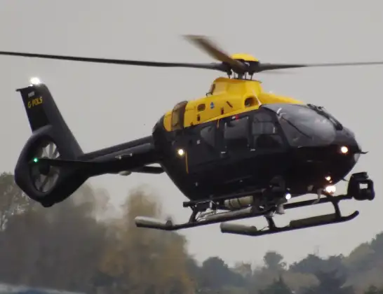
Helicopter: G-POLS
The helicopter G-POLS is used by the British police. The helicopter is deployed in pursuits, missing persons cases and other incidents where a helicopter provides added value.
Photo: James from Cheltenham, Gloucestershire
26 miles
2900 feet
79 mph
20 minutes
14:45
15:04

Route
Hawthorn Avenue, East Dunbartonshire15:04
Milngavie, East Dunbartonshire15:03
Glasgow, East Dunbartonshire15:03
Torrance, East Dunbartonshire15:02
Balmore, East Dunbartonshire15:02
Bishopbriggs, East Dunbartonshire15:02
Torrance, East Dunbartonshire15:01
Bishopbriggs, East Dunbartonshire15:01
Glasgow, Glasgow City14:57
Busby, East Renfrewshire14:56
Thorntonhall, South Lanarkshire14:56
Waterfoot, East Renfrewshire14:55
Eaglesham, East Renfrewshire14:45
Castlehill Road, East Renfrewshire14:45
Live flights
Today
Flights Milngavie
Police Helicopter to Milngavie, Baldernock Lynn24 May 11:44
Police Helicopter to Milngavie, Craigmaddie Road20 May 14:19
Police Helicopter to Milngavie1 May 12:19
Police Helicopter to Milngavie, Craigmaddie Road18 Apr 16:51
Police Helicopter to Glasgow, Foxbar Drive14 Apr 12:51
Flights Waterfoot
Police Helicopter to Waterfoot, Beauly Crescent16 Apr 14:42
Police Helicopter to Glasgow, Clydeholm Road2 Feb 11:56
Helicopter flights on your website?
You can easily display helicopter flights on your own website. Use the embed code.
