Police Helicopter to Milngavie
Friday, 1 May 2026 | 12:19 | From Stirling
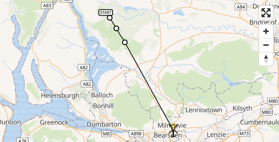
On Friday, 1 May 2026 at 12:19, a Police Helicopter departed from Stirling to Milngavie. It was the Police Helicopter with registration number G-POLS. The flight lasted 11 minutes. During that period, the aircraft travelled 20 miles at an average speed of 106 miles per hour at a maximum altitude of 2925 feet.
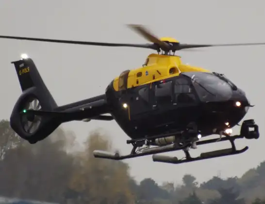
Helicopter: G-POLS
The helicopter G-POLS is used by the British police. The helicopter is deployed in pursuits, missing persons cases and other incidents where a helicopter provides added value.
Photo: James from Cheltenham, Gloucestershire
20 miles
2925 feet
106 mph
12 minutes
12:19
12:30

Route
Milngavie, East Dunbartonshire12:30
Milton of Buchanan, Stirling12:22
Stirling, Stirling12:20
Gleann Meadhonach, Stirling12:20
Stirling, Stirling12:19
Live flights
Today
Police Helicopter to Fife, B91404:13:14
Flights Milngavie
Police Helicopter to Milngavie, Baldernock Lynn24 May 11:44
Police Helicopter to Milngavie, Craigmaddie Road20 May 14:19
Police Helicopter to Milngavie1 May 12:19
Police Helicopter to Milngavie, Craigmaddie Road18 Apr 16:51
Police Helicopter to Glasgow, Foxbar Drive14 Apr 12:51
Flights Stirling
Coastguard Helicopter to Killin, Stirling22 Jun 14:48
Coastguard Helicopter to Killin, Stirling22 Jun 14:24
Coastguard Helicopter to Stirling, A8421 Jun 16:32
Police Helicopter to Stirling, A9074 Jun 15:39
Coastguard Helicopter to Stirling26 May 18:44
Coastguard Helicopter to Stirling24 May 18:05
Coastguard Helicopter to Perth and Kinross24 May 14:29
Helicopter flights on your website?
You can easily display helicopter flights on your own website. Use the embed code.
