Air Ambulance Helicopter to Durham, Framwellgate Peth
Monday, 27 April 2026 | 17:09 | From Crook
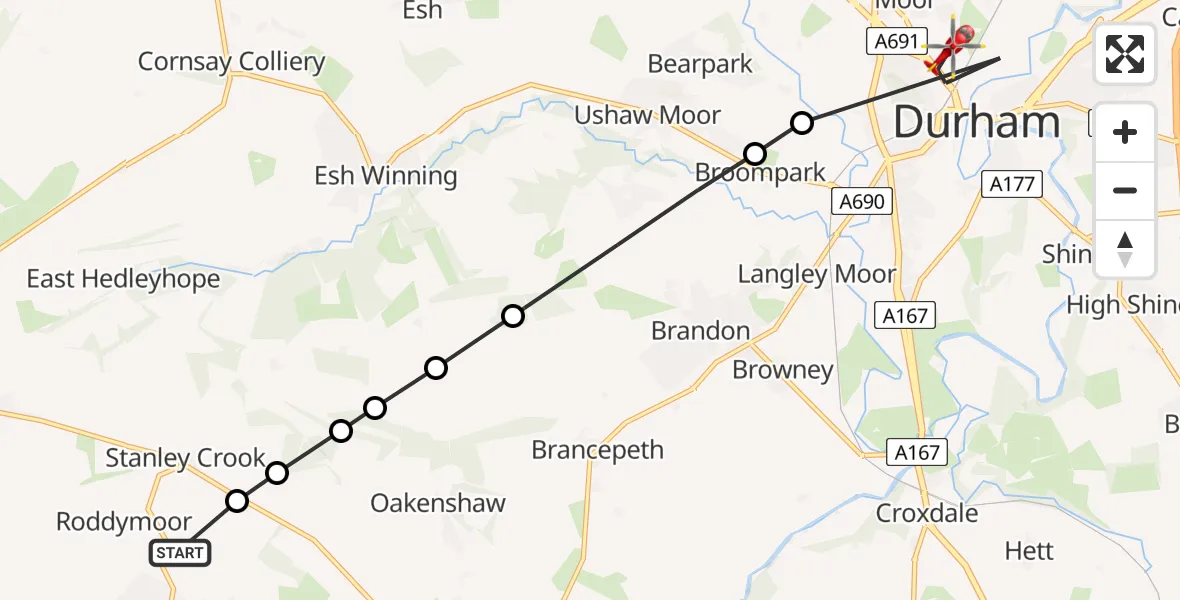
On Monday, 27 April 2026 at 17:09, a Air Ambulance Helicopter departed from Crook to Durham. It was the Air Ambulance Helicopter with registration number G-NHAD. The flight lasted 5 minutes. During that period, the aircraft travelled 9 miles at an average speed of 110 miles per hour at a maximum altitude of 1075 feet.
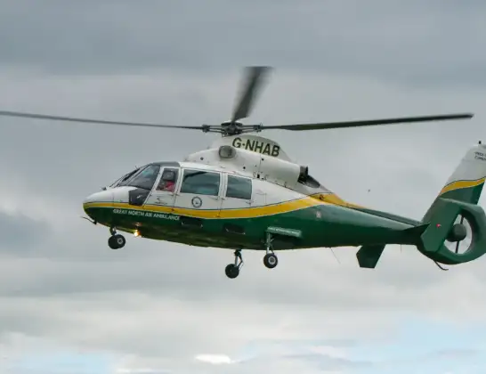
Helicopter: G-NHAD
The helicopter G-NHAD is used as a air ambulance helicopter. The main purpose of this aircraft is to transport a Mobile Medical Team to an incident as quickly as possible, enabling the trauma doctor to provide immediate first aid on site. The aircraft is flying this flight as Air Ambulance Helicopter.
Photo: Samloynes 1
10 miles
1075 feet
110 mph
5 minutes
17:09
17:14

Route
Framwellgate Peth, County Durham17:14
Durham, County Durham17:12
Broompark, County Durham17:12
New Brancepeth, County Durham17:11
Brancepeth, County Durham17:11
Waterhouses, County Durham17:10
Brancepeth, County Durham17:10
Oakenshaw, County Durham17:10
Stanley Crook, County Durham17:10
Deerness Valley Railway Path, County Durham17:09
Live flights
Today
Flights Durham
Police Helicopter to Durham, South Street6 Jun 08:28
Police Helicopter to Durham, B653229 Apr 09:52
Air Ambulance Helicopter to Egglescliffe27 Apr 18:13
Flights Crook
Air Ambulance Helicopter to Crook, Wheatbottom26 Mar 16:10
Air Ambulance Helicopter to Crook, Low Jobs Hill23 Feb 14:28
Helicopter flights on your website?
You can easily display helicopter flights on your own website. Use the embed code.
