Air Ambulance Helicopter to Egglescliffe
Monday, 27 April 2026 | 18:13 | From Durham
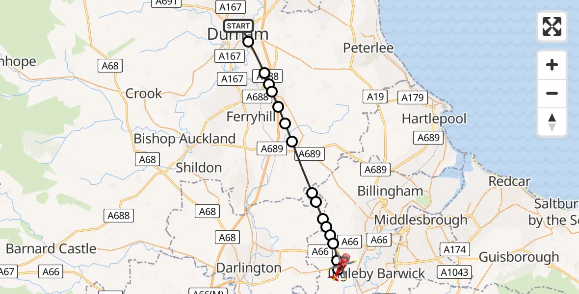
On Monday, 27 April 2026 at 18:13, a Air Ambulance Helicopter departed from Durham to Egglescliffe. It was the Air Ambulance Helicopter with registration number G-NHAD. The flight lasted 9 minutes. During that period, the aircraft travelled 20 miles at an average speed of 141 miles per hour at a maximum altitude of 1100 feet.
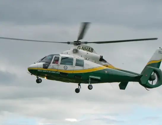
Helicopter: G-NHAD
The helicopter G-NHAD is used as a air ambulance helicopter. The main purpose of this aircraft is to transport a Mobile Medical Team to an incident as quickly as possible, enabling the trauma doctor to provide immediate first aid on site. The aircraft is flying this flight as Air Ambulance Helicopter.
Photo: Samloynes 1
21 miles
1100 feet
141 mph
9 minutes
18:13
18:22

Route
Egglescliffe, Stockton-on-Tees18:22
Egglescliffe, Stockton-on-Tees18:21
Elton, Stockton-on-Tees18:21
Longnewton, Stockton-on-Tees18:20
Elton, Stockton-on-Tees18:20
Longnewton, Stockton-on-Tees18:20
Redmarshall, Darlington18:20
Bishopton, Darlington18:19
Stillington, Stockton-on-Tees18:19
Sedgefield, County Durham18:17
Bishop Middleham, County Durham18:17
West Cornforth, County Durham18:16
Coxhoe, County Durham18:16
Parkhill, County Durham18:16
Bowburn, County Durham18:15
High Shincliffe, County Durham18:14
Frankland Lane, County Durham18:13
Live flights
Today
Flights Egglescliffe
Air Ambulance Helicopter to Shadforth26 Jun 16:05
Air Ambulance Helicopter to Egglescliffe25 Jun 15:54
Flights Durham
Police Helicopter to Durham, South Street6 Jun 08:28
Police Helicopter to Durham, B653229 Apr 09:52
Air Ambulance Helicopter to Egglescliffe27 Apr 18:13
Helicopter flights on your website?
You can easily display helicopter flights on your own website. Use the embed code.
