Police Helicopter to Coopersale, Epping Road
Wednesday, 22 April 2026 | 16:11 | From Coopersale
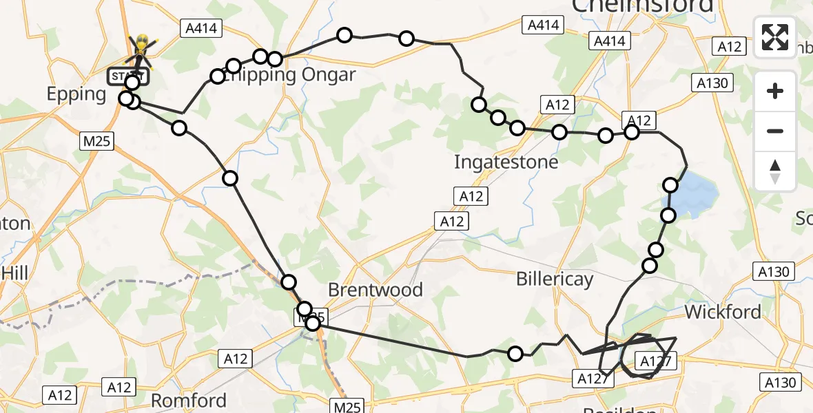
On Wednesday, 22 April 2026 at 16:11, a Police Helicopter departed from Coopersale to Coopersale. It was the Police Helicopter with registration number G-POLD. The flight lasted 30 minutes. During that period, the aircraft travelled 56 miles at an average speed of 112 miles per hour at a maximum altitude of 1200 feet.
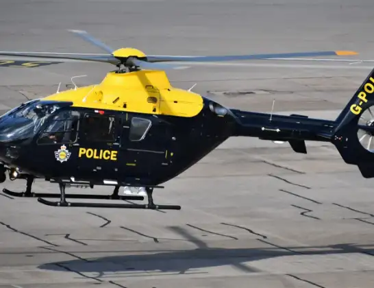
Helicopter: G-POLD
The helicopter G-POLD is used by the British police. The helicopter is deployed in pursuits, missing persons cases and other incidents where a helicopter provides added value.
Photo: Alec Wilson
56 miles
1200 feet
112 mph
31 minutes
16:11
16:41

Route
Epping Road, Essex16:41
Coopersale, Essex16:41
Coopersale Street, Essex16:40
Toot Hill, Essex16:39
Greensted Green, Essex16:38
Greensted, Essex16:38
Chipping Ongar, Essex16:38
High Ongar, Essex16:37
Norton Heath, Essex16:36
Highwood, Essex16:35
Brentwood, Essex16:35
Ingatestone, Essex16:35
Margaretting, Essex16:34
Margaretting Tye, Essex16:34
Sandon, Essex16:33
West Hanningfield, Essex16:32
Hanningfield Reservoir16:32
Downham, Essex16:31
Ramsden Heath, Essex16:31
Basildon, Essex16:22
Brentwood, Essex16:16
Havering, Havering16:16
Essex, Essex16:15
Brentwood, Essex16:14
Toot Hill, Essex16:13
Woodhatch, Essex16:12
M11, Essex16:11
Live flights
Today
Flights Coopersale
Police Helicopter to Coopersale, Epping Road21 Apr 17:04
Police Helicopter to Coopersale, Epping Road21 Apr 13:32
Police Helicopter to Coopersale, M1120 Apr 23:38
Police Helicopter to Coopersale, Gains Ride20 Apr 13:48
Police Helicopter to Coopersale, Epping Road19 Apr 10:30
Police Helicopter to North Weald Airfield17 Apr 20:34
Police Helicopter to North Weald Airfield17 Apr 14:50
Police Helicopter to North Weald Airfield16 Apr 22:10
Police Helicopter to North Weald Airfield11 Apr 15:26
Helicopter flights on your website?
You can easily display helicopter flights on your own website. Use the embed code.
