Air Ambulance Helicopter to Bristol, Southmead Road
Wednesday, 22 April 2026 | 16:53 | From Weston-super-Mare
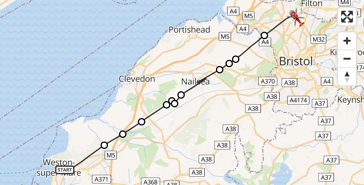
On Wednesday, 22 April 2026 at 16:53, a Air Ambulance Helicopter departed from Weston-super-Mare to Bristol. It was the Air Ambulance Helicopter with registration number G-GWAC. The flight lasted 11 minutes. During that period, the aircraft travelled 22 miles at an average speed of 120 miles per hour at a maximum altitude of 1175 feet.
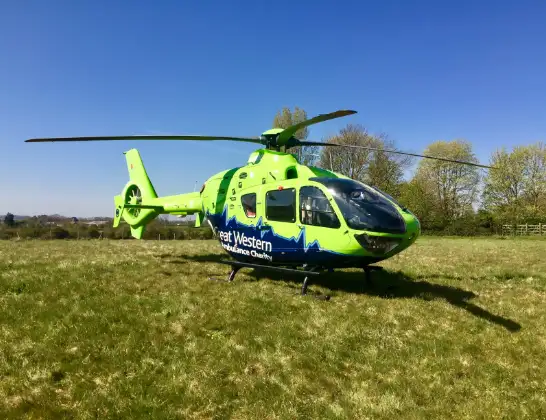
Helicopter: G-GWAC
The helicopter G-GWAC is used as a air ambulance helicopter. The main purpose of this aircraft is to transport a Mobile Medical Team to an incident as quickly as possible, enabling the trauma doctor to provide immediate first aid on site. The aircraft is flying this flight as Air Ambulance Helicopter.
Photo: Mojo0306
22 miles
1175 feet
120 mph
11 minutes
16:53
17:04

Route
Bristol, Bristol, City of17:04
Southmead Road, Bristol, City of17:03
Bristol, Bristol, City of17:02
Abbots Leigh, North Somerset17:01
Portbury, North Somerset17:00
Wraxall, North Somerset17:00
Nailsea, North Somerset16:58
Bristol, North Somerset16:58
Nailsea, North Somerset16:58
Claverham, North Somerset16:58
Yatton, North Somerset16:57
Kingston Seymour, North Somerset16:56
Bourton, North Somerset16:55
Locking Road, North Somerset16:54
Weston-super-Mare, North Somerset16:53
Today
Flights Bristol
Police Helicopter to Bristol, Oaktree Crescent10 Jul 12:36
Police Helicopter to Bristol, Stoke Lane9 Jul 20:52
Flights Weston-super-Mare
Air Ambulance Helicopter to Weston-super-Mare12 Jul 12:55
Helicopter flights on your website?
You can easily display helicopter flights on your own website. Use the embed code.
