Coastguard Helicopter to Argyll and Bute
Thursday, 16 April 2026 | 16:38 | From Taynuilt
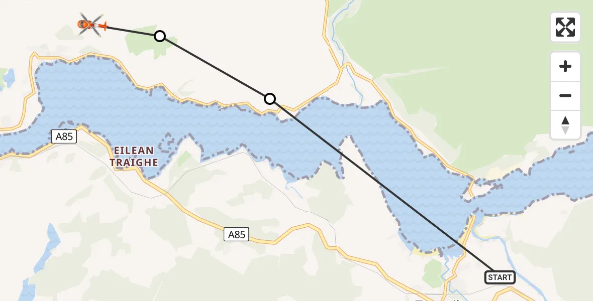
On Thursday, 16 April 2026 at 16:38, a Coastguard Helicopter departed from Taynuilt to Argyll and Bute. It was the Coastguard Helicopter with registration number G-MCGT. The flight lasted 3 minutes. During that period, the aircraft travelled 6 miles at an average speed of 125 miles per hour at a maximum altitude of 1275 feet.
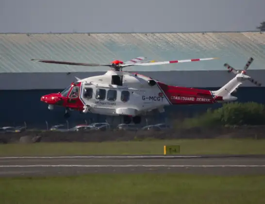
Helicopter: G-MCGT
The helicopter G-MCGT is used by the British Coastguard. The helicopter is deployed in search and rescue operations at sea, rescue operations involving ships or drilling platforms, patrols to prevent smuggling or piracy, environmental monitoring and disaster relief support.
Photo: Ronnie Macdonald
6 miles
1275 feet
125 mph
3 minutes
16:38
16:40

Route
Argyll and Bute, Argyll and Bute16:40
Argyll and Bute, Argyll and Bute16:40
Inveresragan, Argyll and Bute16:39
A85, Argyll and Bute16:38
Live flights
Today
Flights Taynuilt
Coastguard Helicopter to Taynuilt, A8510 Jun 15:14
Coastguard Helicopter to Argyll and Bute16 Apr 16:38
Coastguard Helicopter to Bonawe23 Mar 13:26
Air Ambulance Helicopter to Taynuilt, B8454 Mar 15:23
Coastguard Helicopter to Inveresragan, A856 Feb 20:53
Coastguard Helicopter to Taynuilt6 Feb 16:48
Helicopter flights on your website?
You can easily display helicopter flights on your own website. Use the embed code.
