Air Ambulance Helicopter to Taynuilt, B845
Wednesday, 4 March 2026 | 15:23 | From Glasgow Airport
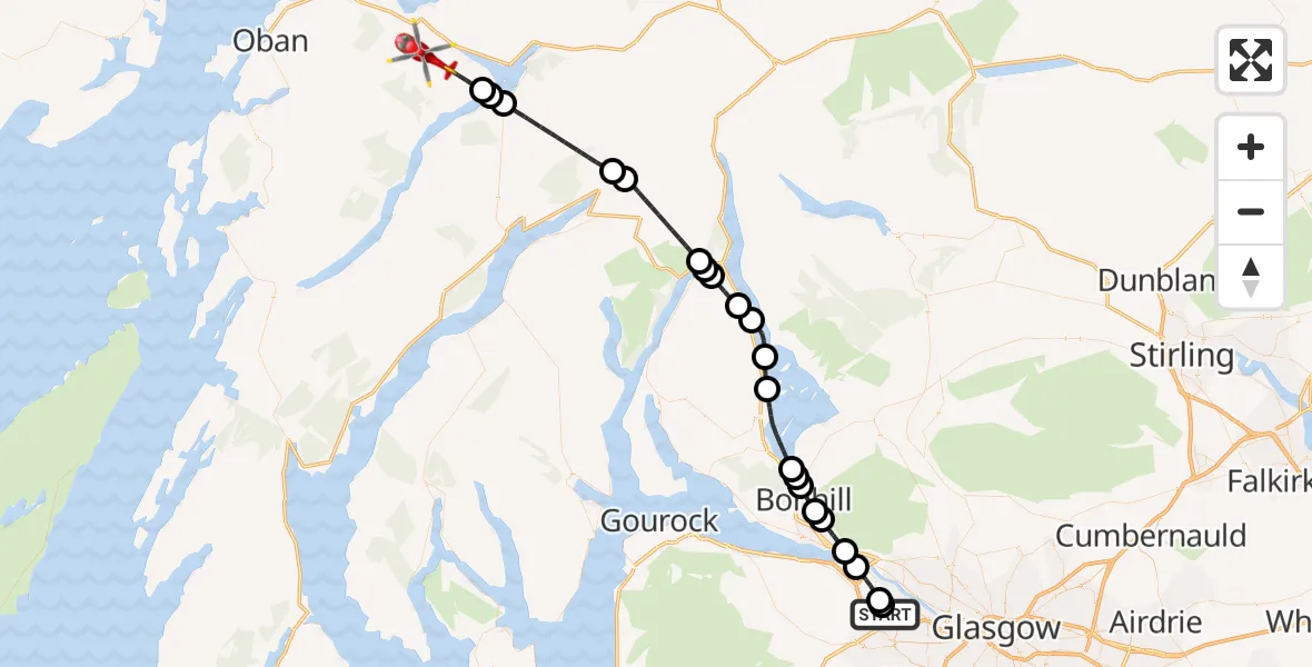
On Wednesday, 4 March 2026 at 15:23, a Air Ambulance Helicopter departed from Glasgow Airport to Taynuilt. It was the Air Ambulance Helicopter with registration number G-ISAS. The flight lasted 21 minutes. During that period, the aircraft travelled 49 miles at an average speed of 141 miles per hour at a maximum altitude of 4675 feet.
Helicopter: G-ISAS
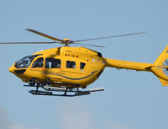
The helicopter G-ISAS is used as a air ambulance helicopter. The main purpose of this aircraft is to transport a Mobile Medical Team to an incident as quickly as possible, enabling the trauma doctor to provide immediate first aid on site. The aircraft is flying this flight as Air Ambulance Helicopter.
Photo: Jonathan Payne
49 miles
4675 feet
141 mph
21 minutes
15:23
15:43

Route
B845, 15:43
Kilchrenan15:42
Loch Awe15:41
Cladich15:41
Clachan15:37
Glenfyne15:37
Succoth15:34
Arrochar15:34
Tarbet15:34
Firkin15:33
Inverbeg15:32
Loch Lomond15:31
Luss15:30
Loch Lomond15:28
Balloch15:27
Alexandria15:27
Bonhill15:26
Dumbarton15:26
Milton15:25
Bishopton15:25
Erskine15:23
Inchinnan15:23
Walkinshaw Road, 15:23
Live flights
Today
Flights Taynuilt
Coastguard Helicopter to Taynuilt, A8510 Jun 15:14
Coastguard Helicopter to Argyll and Bute16 Apr 16:38
Coastguard Helicopter to Bonawe23 Mar 13:26
Air Ambulance Helicopter to Taynuilt, B8454 Mar 15:23
Coastguard Helicopter to Inveresragan, A856 Feb 20:53
Coastguard Helicopter to Taynuilt6 Feb 16:48
Helicopter flights on your website?
You can easily display helicopter flights on your own website. Use the embed code.
