Police Helicopter to Penicuik, Old Kirk Road
Thursday, 16 April 2026 | 14:32 | From Burnshot
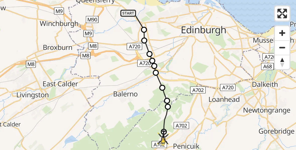
On Thursday, 16 April 2026 at 14:32, a Police Helicopter departed from Burnshot to Penicuik. It was the Police Helicopter with registration number G-BZRS. The flight lasted 5 minutes. During that period, the aircraft travelled 10 miles at an average speed of 131 miles per hour at a maximum altitude of 2025 feet.
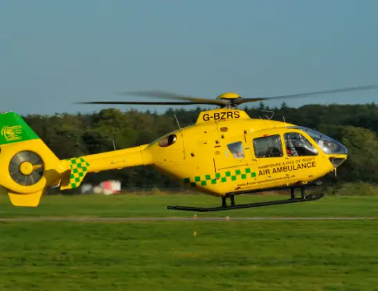
Helicopter: G-BZRS
The helicopter G-BZRS is used by the British police. The helicopter is deployed in pursuits, missing persons cases and other incidents where a helicopter provides added value.
Photo: NMOS332
11 miles
2025 feet
131 mph
5 minutes
14:32
14:37

Route
Old Kirk Road, Midlothian14:37
Silverburn, Midlothian14:37
Kirkton, Midlothian14:36
City of Edinburgh, City of Edinburgh14:36
Bonaly, City of Edinburgh14:35
Baberton, City of Edinburgh14:35
Wester Hailes, City of Edinburgh14:34
Sighthill, Broomhouse and Parkhead, City of Edinburgh14:34
Sighthill, City of Edinburgh14:34
South Gyle, City of Edinburgh14:34
East Craigs, City of Edinburgh14:33
Burnshot, City of Edinburgh14:32
Live flights
Police Helicopter on its way from Renfrew15 Jul 23:02
Today
Air Ambulance Helicopter to Dunkeswell Airfield15 Jul 23:01
Police Helicopter to Manchester Barton Aerodrome15 Jul 22:25
Police Helicopter to Baxterley Aerodrome15 Jul 22:24
Air Ambulance Helicopter to Henstridge Airfield15 Jul 22:14
Coastguard Helicopter to Argyll and Bute, B84515 Jul 22:05
Police Helicopter to MOD St Athan15 Jul 21:51
Flights Penicuik
Police Helicopter to Penicuik, Carlops Road31 May 20:46
Police Helicopter to West Kinfauns, A902 May 17:03
Police Helicopter to Penicuik, Old Kirk Road16 Apr 14:32
Flights Burnshot
Police Helicopter to Penicuik, Old Kirk Road16 Apr 14:32
Helicopter flights on your website?
You can easily display helicopter flights on your own website. Use the embed code.
