Police Helicopter to Harborough, Sulby Road
Wednesday, 15 April 2026 | 22:11 | From Blaby
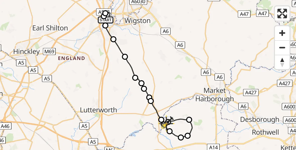
On Wednesday, 15 April 2026 at 22:11, a Police Helicopter departed from Blaby to Harborough. It was the Police Helicopter with registration number G-EMID. The flight lasted 17 minutes. During that period, the aircraft travelled 21 miles at an average speed of 74 miles per hour at a maximum altitude of 1575 feet.
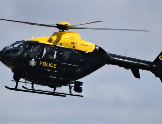
Helicopter: G-EMID
The helicopter G-EMID is used by the British police. The helicopter is deployed in pursuits, missing persons cases and other incidents where a helicopter provides added value.
Photo: Alec Wilson
22 miles
1575 feet
74 mph
18 minutes
22:11
22:28

Route
Sulby Road, Leicestershire22:28
Harborough, West Northamptonshire22:28
Sibbertoft, West Northamptonshire22:26
Clipston, West Northamptonshire22:25
Naseby, West Northamptonshire22:25
Sulby, West Northamptonshire22:24
Harborough, Leicestershire22:24
Husbands Bosworth Airfield, Lutterworth, Leicestershire22:23
Husbands Bosworth, Leicestershire22:22
Kimcote and Walton, Leicestershire22:22
Harborough, Leicestershire22:22
Kimcote and Walton, Leicestershire22:21
Bruntingthorpe, Leicestershire22:21
Peatling Magna, Leicestershire22:20
Countesthorpe, Leicestershire22:19
Whetstone, Leicestershire22:18
Blaby, Leicestershire22:11
Enderby, Leicestershire22:11
Ratby Meadow Lane, Leicestershire22:11
Live flights
Today
Flights Harborough
Police Helicopter to Birmingham Airport30 Jun 22:24
Police Helicopter to Sulby, Sulby Road28 Jun 18:42
Police Helicopter to Welford, Sulby Road26 Jun 23:38
Police Helicopter to Sulby, Sulby Road26 Jun 13:39
Police Helicopter to Sulby Airstrip23 Jun 14:34
Police Helicopter to Sulby, Sulby Road17 Jun 23:14
Police Helicopter to Welford, Sulby Road14 Jun 19:43
Police Helicopter to Sulby, Sulby Road13 Jun 15:30
Police Helicopter to Sulby, Sulby Hall Old Drive12 Jun 18:19
Flights Blaby
Police Helicopter to Harborough, Sulby Road15 Apr 22:11
Police Helicopter to Blaby, Great Central Way15 Apr 21:58
Air Ambulance Helicopter to Blaby, Mill Lane25 Feb 11:50
Helicopter flights on your website?
You can easily display helicopter flights on your own website. Use the embed code.
