Air Ambulance Helicopter to Blaby, Great Central Way
Tuesday, 17 February 2026 | 13:39 | From Coventry Airport
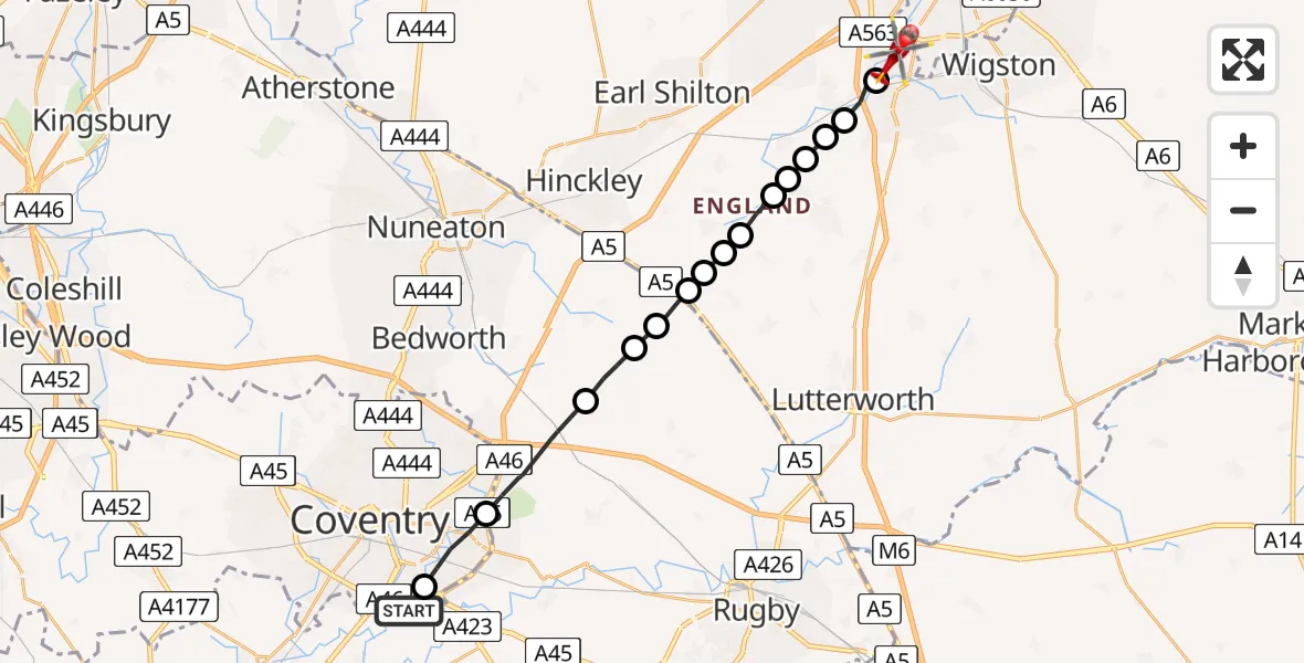
On Tuesday, 17 February 2026 at 13:39, a Air Ambulance Helicopter departed from Coventry Airport to Blaby. It was the Air Ambulance Helicopter with registration number G-WNAS. The flight lasted 8 minutes. During that period, the aircraft travelled 20 miles at an average speed of 157 miles per hour at a maximum altitude of 1350 feet.
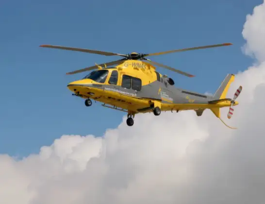
Helicopter: G-WNAS
The helicopter G-WNAS is used as an ambulance helicopter. The helicopter is equipped with a stretcher for transporting patients. The helicopter is often used to transport to hospitals.
Photo: Tony Melony
21 miles
1350 feet
157 mph
8 minutes
13:39
13:47

Route
Great Central Way, 13:47
Whetstone13:46
Narborough13:45
Cosby13:45
Croft, Harborough13:45
Broughton Astley, Harborough13:45
Sapcote13:44
Frolesworth13:44
Claybrooke Farm Airstrip13:44
Claybrooke Magna, Harborough13:43
Sharnford13:43
Rugby13:43
Wolvey CP, Rugby13:42
Withybrook CP, Rugby13:42
Rugby13:40
Coventry, West Midlands13:39
Rowley Road, Warwick13:39
Live flights
Today
Flights Blaby
Police Helicopter to Harborough, Sulby Road15 Apr 22:11
Police Helicopter to Blaby, Great Central Way15 Apr 21:58
Air Ambulance Helicopter to Blaby, Mill Lane25 Feb 11:50
Helicopter flights on your website?
You can easily display helicopter flights on your own website. Use the embed code.
