Police Helicopter to Blaby, Great Central Way
Wednesday, 15 April 2026 | 21:58 | From Husbands Bosworth Airfield
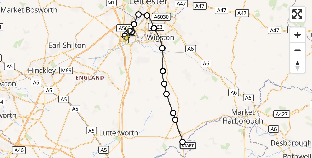
On Wednesday, 15 April 2026 at 21:58, a Police Helicopter departed from Husbands Bosworth Airfield to Blaby. It was the Police Helicopter with registration number G-EMID. The flight lasted 13 minutes. During that period, the aircraft travelled 18 miles at an average speed of 87 miles per hour at a maximum altitude of 1650 feet.
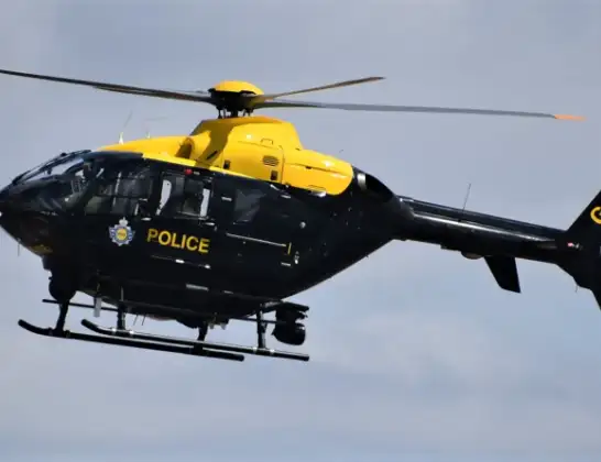
Helicopter: G-EMID
The helicopter G-EMID is used by the British police. The helicopter is deployed in pursuits, missing persons cases and other incidents where a helicopter provides added value.
Photo: Alec Wilson
19 miles
1650 feet
87 mph
13 minutes
21:58
22:10

Route
Great Central Way, Leicestershire22:10
Blaby, Leicestershire22:08
Enderby, Leicestershire22:07
Blaby, Leicestershire22:07
Aylestone, Leicester22:06
Braunstone, Leicester22:05
Aylestone Park, Leicester22:04
Knighton Fields, Leicester22:03
Wigston, Leicestershire22:02
Kilby, Leicestershire22:01
Arnesby, Leicestershire22:01
Shearsby, Leicestershire22:00
Harborough, Leicestershire21:59
North Kilworth, Leicestershire21:59
Husbands Bosworth, Leicestershire21:58
Husbands Bosworth Airfield, Lutterworth, Leicestershire21:58
Live flights
Today
Flights Blaby
Police Helicopter to Harborough, Sulby Road15 Apr 22:11
Police Helicopter to Blaby, Great Central Way15 Apr 21:58
Air Ambulance Helicopter to Blaby, Mill Lane25 Feb 11:50
Helicopter flights on your website?
You can easily display helicopter flights on your own website. Use the embed code.
