Police Helicopter to Milngavie
Saturday, 21 March 2026 | 13:07 | From Perth
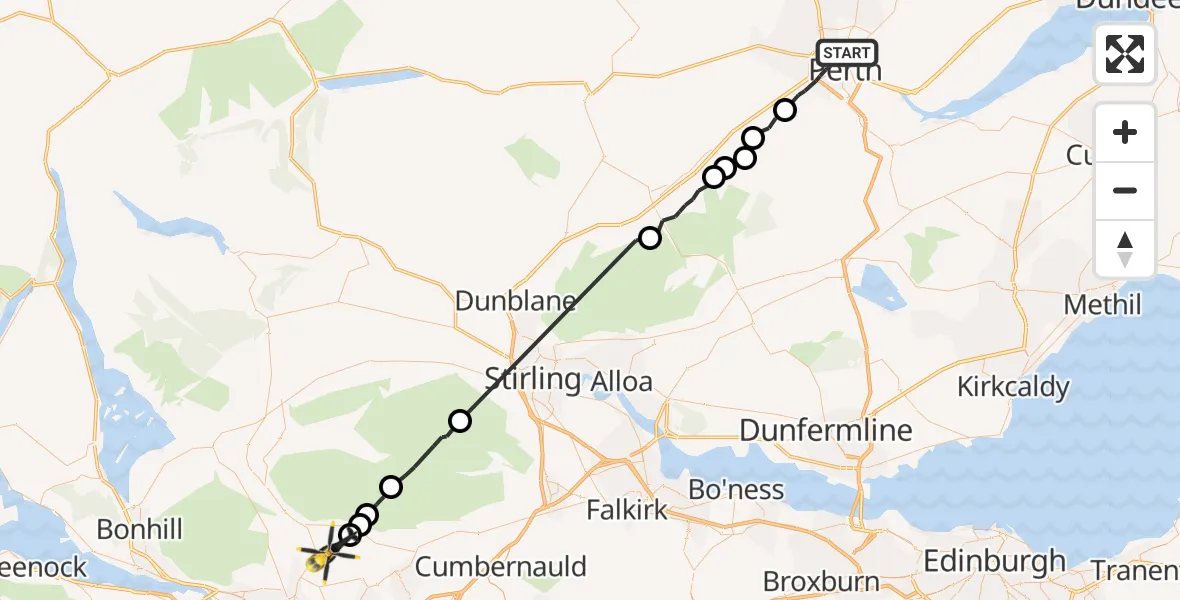
On Saturday, 21 March 2026 at 13:07, a Police Helicopter departed from Perth to Milngavie. It was the Police Helicopter with registration number G-BZRS. The flight lasted 22 minutes. During that period, the aircraft travelled 46 miles at an average speed of 123 miles per hour at a maximum altitude of 2700 feet.
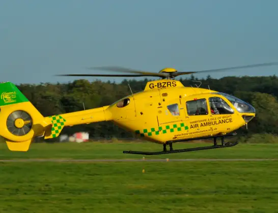
Helicopter: G-BZRS
The helicopter G-BZRS is used by the British police. The helicopter is deployed in pursuits, missing persons cases and other incidents where a helicopter provides added value.
Photo: NMOS332
46 miles
2700 feet
123 mph
23 minutes
13:07
13:30

Route
Milngavie, Milngavie13:30
Clachan of Campsie, Clachan of Campsie13:29
Lennoxtown, Lennoxtown13:29
Clachan of Campsie, Clachan of Campsie13:28
Lennoxtown, Lennoxtown13:27
Stirling, Stirling13:24
Blackford, Blackford13:16
Auchterarder, Auchterarder13:13
Aberuthven, Aberuthven13:13
Dunning, Dunning13:12
Perth, Perth13:11
Forteviot, Forteviot13:10
Isla Road, Perth13:07
Live flights
Today
Flights Milngavie
Police Helicopter to Renfrew, King's Inch Road13 Jul 14:36
Police Helicopter to Milngavie, Baldernock Lynn24 May 11:44
Police Helicopter to Milngavie, Craigmaddie Road20 May 14:19
Police Helicopter to Milngavie1 May 12:19
Police Helicopter to Milngavie, Craigmaddie Road18 Apr 16:51
Police Helicopter to Glasgow, Foxbar Drive14 Apr 12:51
Flights Perth
Police Helicopter to Perth and Kinross12 Jul 09:53
Police Helicopter to Perth10 Jul 18:36
Police Helicopter to Perth and Kinross, B9341 Jul 16:10
Police Helicopter to Little Powgavie, B95824 Jun 10:08
Police Helicopter to Pitcairngreen15 Jun 18:24
Police Helicopter to Perth, Dower Place5 Jun 17:33
Police Helicopter to Perth, Kilda Road5 Jun 14:29
Police Helicopter to Perth, Maxton Place4 Jun 13:57
Helicopter flights on your website?
You can easily display helicopter flights on your own website. Use the embed code.
