Air Ambulance Helicopter to Rhyl, Rhuddlan Road
Saturday, 31 January 2026 | 12:53 | From Colwyn Bay
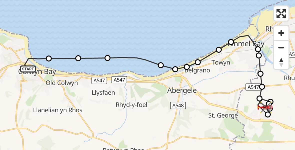
On Saturday, 31 January 2026 at 12:53, a Air Ambulance Helicopter departed from Colwyn Bay to Rhyl. It was the Air Ambulance Helicopter with registration number G-LOYW. The flight lasted 9 minutes. During that period, the aircraft travelled 15 miles at an average speed of 99 miles per hour at a maximum altitude of 1325 feet.
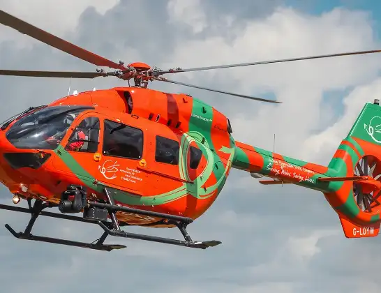
Helicopter: G-LOYW
The helicopter G-LOYW is used as a air ambulance helicopter. The main purpose of this aircraft is to transport a Mobile Medical Team to an incident as quickly as possible, enabling the trauma doctor to provide immediate first aid on site. The aircraft is flying this flight as Air Ambulance Helicopter.
Photo: Sarahpurpleface
16 miles
1325 feet
99 mph
10 minutes
12:53
13:02

Route
Rhuddlan Road, 13:02
Rhyl13:01
St Asaph13:01
Bodelwyddan13:00
St Asaph13:00
Bodelwyddan12:59
Rhuddlan12:59
Rhyl12:59
Kinmel Bay12:58
Rhyl12:58
Kinmel Bay12:57
Towyn12:57
Belgrano12:57
Pensarn12:57
Abergele12:56
Pensarn12:56
Llanddulas12:55
Old Colwyn12:55
Llanelian yn Rhos12:54
Lansdowne Road, 12:53
Live flights
Today
Police Helicopter to Epping Forest, Green Lane26 Feb 23:43
Flights Rhyl
Air Ambulance Helicopter to Rhyl, Rhuddlan Road22 Feb 12:32
Air Ambulance Helicopter to Rhyl, Rhuddlan Road21 Feb 14:06
Air Ambulance Helicopter to Rhyl, Rhuddlan Road17 Feb 19:10
Air Ambulance Helicopter to Rhyl, Rhuddlan Road31 Jan 12:53
Police Helicopter to Kinmel Bay, St Asaph Avenue29 Jan 20:01
Helicopter flights on your website?
You can easily display helicopter flights on your own website. Use the embed code.
