Air Ambulance Helicopter to Rhyl, Rhuddlan Road
Sunday, 22 February 2026 | 12:32 | From Tal-y-bont
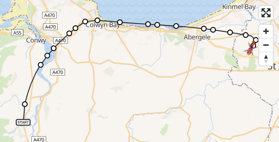
On Sunday, 22 February 2026 at 12:32, a Air Ambulance Helicopter departed from Tal-y-bont to Rhyl. It was the Air Ambulance Helicopter with registration number G-WENU. The flight lasted 9 minutes. During that period, the aircraft travelled 19 miles at an average speed of 129 miles per hour at a maximum altitude of 1025 feet.
Helicopter: G-WENU
The helicopter G-WENU is used as a air ambulance helicopter. The main purpose of this aircraft is to transport a Mobile Medical Team to an incident as quickly as possible, enabling the trauma doctor to provide immediate first aid on site. The aircraft is flying this flight as Air Ambulance Helicopter.
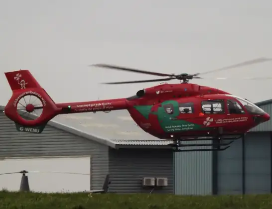
Photo: James from Cheltenham, Gloucestershire
20 miles
1025 feet
129 mph
10 minutes
12:32
12:42

Route
Rhuddlan Road, 12:42
Rhyl12:41
St Asaph12:40
Rhuddlan12:40
Kinmel Bay and Towyn12:39
Abergele12:39
Pensarn12:38
Abergele12:38
Llanddulas12:37
Llysfaen12:37
Old Colwyn12:36
Colwyn Bay12:36
Mochdre12:35
Mochdre, Llandudno Junction12:35
Llandudno Junction12:35
Llansanffraid Glan Conwy12:34
Henryd12:34
Llechwedd, Llandudno Junction12:34
Ty'n y Groes12:33
Tal-y-bont, 12:33
Tal-y-bont12:32
Live flights
Today
Flights Rhyl
Air Ambulance Helicopter to Rhyl, Staircase5 Jul 15:34
Air Ambulance Helicopter to Rhyl, Rhuddlan Road27 Jun 15:28
Air Ambulance Helicopter to Rhyl, Rhuddlan Road25 Jun 14:35
Air Ambulance Helicopter to Rhyl, Rhuddlan Road21 Jun 22:41
Air Ambulance Helicopter to Rhyl, Rhuddlan Road27 Mar 18:43
Air Ambulance Helicopter to Caernarfon Airport26 Mar 10:13
Air Ambulance Helicopter to Rhyl, Rhuddlan Road21 Mar 12:29
Flights Tal-y-bont
Air Ambulance Helicopter to Tal-y-bont, A48728 Apr 11:42
Air Ambulance Helicopter to Rhyl, Rhuddlan Road22 Feb 12:32
Air Ambulance Helicopter to Tal-y-bont22 Feb 11:09
Air Ambulance Helicopter to Tal-y-bont2 Feb 14:20
Coastguard Helicopter to Tal-y-bont10 Jan 17:15
Helicopter flights on your website?
You can easily display helicopter flights on your own website. Use the embed code.
