Air Ambulance Helicopter to Rhyl, Rhuddlan Road
Saturday, 21 February 2026 | 14:06 | From Brynford
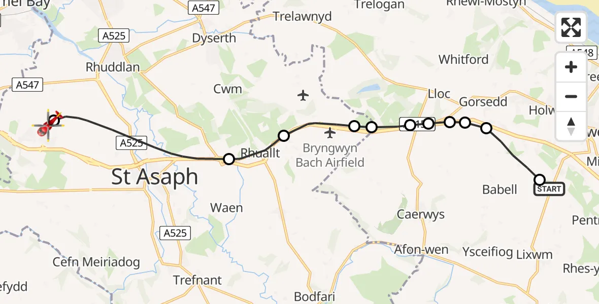
On Saturday, 21 February 2026 at 14:06, a Air Ambulance Helicopter departed from Brynford to Rhyl. It was the Air Ambulance Helicopter with registration number G-LOYW. The flight lasted 8 minutes. During that period, the aircraft travelled 12 miles at an average speed of 89 miles per hour at a maximum altitude of 1325 feet.
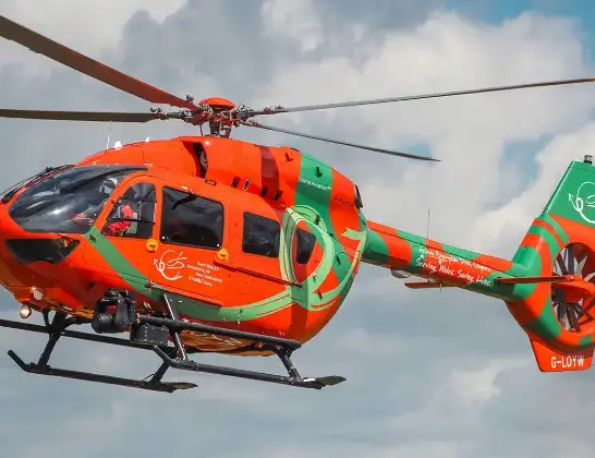
Helicopter: G-LOYW
The helicopter G-LOYW is used as a air ambulance helicopter. The main purpose of this aircraft is to transport a Mobile Medical Team to an incident as quickly as possible, enabling the trauma doctor to provide immediate first aid on site. The aircraft is flying this flight as Air Ambulance Helicopter.
Photo: Sarahpurpleface
12 miles
1325 feet
89 mph
8 minutes
14:06
14:14

Route
Rhuddlan Road, 14:14
Rhyl14:14
St Asaph14:11
Rhuallt14:10
St Asaph14:09
Lloc14:09
Pantasaph14:09
Lloc14:08
Pantasaph14:08
Gorsedd14:08
Babell14:08
Ffordd Calcoed, 14:07
Calcoed14:07
Brynford14:06
Live flights
Today
Flights Rhyl
Air Ambulance Helicopter to Rhyl, Staircase5 Jul 15:34
Air Ambulance Helicopter to Rhyl, Rhuddlan Road27 Jun 15:28
Air Ambulance Helicopter to Rhyl, Rhuddlan Road25 Jun 14:35
Air Ambulance Helicopter to Rhyl, Rhuddlan Road21 Jun 22:41
Air Ambulance Helicopter to Rhyl, Rhuddlan Road27 Mar 18:43
Air Ambulance Helicopter to Caernarfon Airport26 Mar 10:13
Air Ambulance Helicopter to Rhyl, Rhuddlan Road21 Mar 12:29
Flights Brynford
Air Ambulance Helicopter to Rhyl, Rhuddlan Road21 Feb 14:06
Helicopter flights on your website?
You can easily display helicopter flights on your own website. Use the embed code.
