Air Ambulance Helicopter to Barrow-in-Furness, Salthouse Road
Friday, 30 January 2026 | 9:42 | From Fylde
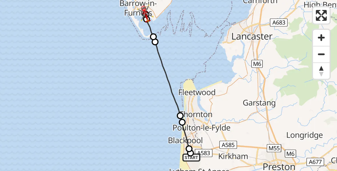
On Friday, 30 January 2026 at 9:42, a Air Ambulance Helicopter departed from Fylde to Barrow-in-Furness. It was the Air Ambulance Helicopter with registration number G-NWAA. The flight lasted 8 minutes. During that period, the aircraft travelled 23 miles at an average speed of 171 miles per hour at a maximum altitude of 1850 feet.
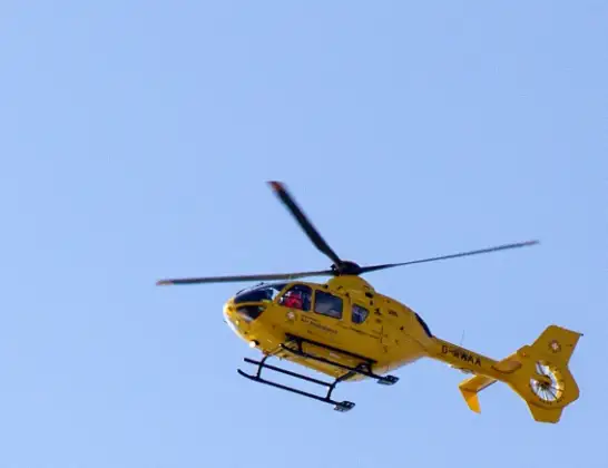
Helicopter: G-NWAA
The helicopter G-NWAA is used as a air ambulance helicopter. The main purpose of this aircraft is to transport a Mobile Medical Team to an incident as quickly as possible, enabling the trauma doctor to provide immediate first aid on site. The aircraft is flying this flight as Air Ambulance Helicopter.
Photo: David P Howard
23 miles
1850 feet
171 mph
9 minutes
09:42
09:50

Route
Salthouse Road, 09:50
Barrow-in-Furness09:50
Barrow09:50
Roa Island09:49
Barrow09:49
Irish Sea09:45
Bispham, Lancashire09:44
Blackpool, Lancashire09:43
Hawes Side, Lancashire09:42
Squires Gate Lane, Lancashire09:42
Today
Police Helicopter to Epping Forest, Green Lane26 Feb 23:43
Flights Barrow-in-Furness
Flights Fylde
Helicopter flights on your website?
You can easily display helicopter flights on your own website. Use the embed code.
