Air Ambulance Helicopter to Fylde, Stony Hill Avenue
Friday, 23 January 2026 | 10:53 | From Forton
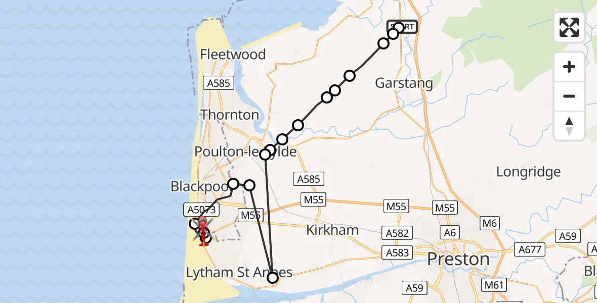
On Friday, 23 January 2026 at 10:53, a Air Ambulance Helicopter departed from Forton to Fylde. It was the Air Ambulance Helicopter with registration number G-NWAA. The flight lasted 8 minutes. During that period, the aircraft travelled 28 miles at an average speed of 228 miles per hour at a maximum altitude of 2025 feet.
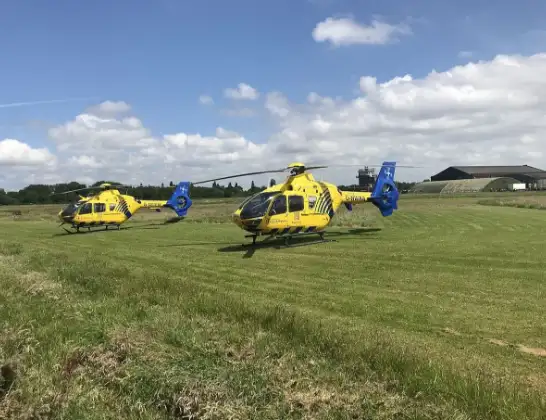
Helicopter: G-NWAA
The helicopter G-NWAA is used as a air ambulance helicopter. The main purpose of this aircraft is to transport a Mobile Medical Team to an incident as quickly as possible, enabling the trauma doctor to provide immediate first aid on site. The aircraft is flying this flight as Air Ambulance Helicopter.
Photo: Legion23
29 miles
2025 feet
228 mph
8 minutes
10:53
11:00

Route
Stony Hill Avenue, Lancashire11:00
Fylde, Lancashire11:00
Blackpool Airport, Blackpool11:00
Squires Gate, Lancashire10:59
Blackpool, Lancashire10:58
Staining, Fylde10:57
Lytham, Fylde10:57
Poulton-le-Fylde, Wyre10:57
Little Singleton, Fylde10:57
Wyre, Lancashire10:56
Hambleton, Wyre10:56
Wyre, Lancashire10:55
Pilling, Wyre10:55
Nateby, Wyre10:54
Winmarleigh, Wyre10:53
Forton, Wyre10:53
Forton, Preston10:53
Preston Lancaster Road, Wyre10:53
Live flights
Today
Flights Fylde
Air Ambulance Helicopter to Fylde25 Jun 12:25
Police Helicopter to Broughton, B512911 Apr 12:36
Flights Forton
Air Ambulance Helicopter to Blackpool Airport23 Apr 19:45
Air Ambulance Helicopter to Forton, The Meadows24 Feb 13:23
Air Ambulance Helicopter to Forton, School Lane23 Jan 10:04
Helicopter flights on your website?
You can easily display helicopter flights on your own website. Use the embed code.
