Air Ambulance Helicopter to Barrow-in-Furness, Derbyshire Road
Wednesday, 14 January 2026 | 13:37 | From Blackpool Airport
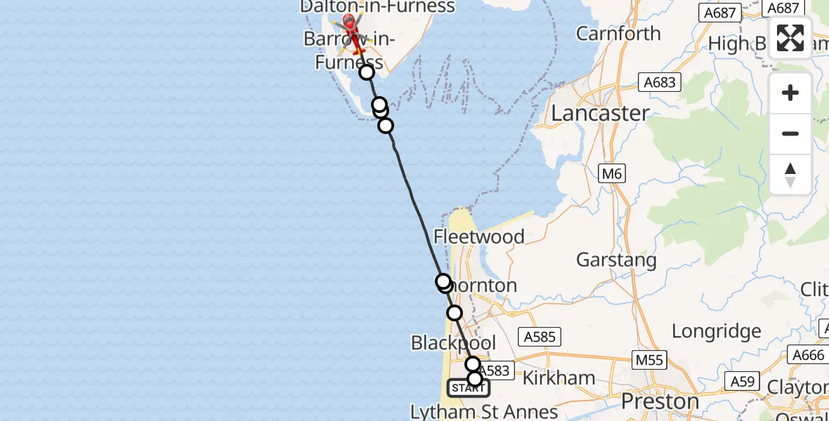
On Wednesday, 14 January 2026 at 13:37, a Air Ambulance Helicopter departed from Blackpool Airport to Barrow-in-Furness. It was the Air Ambulance Helicopter with registration number G-NWAA. The flight lasted 10 minutes. During that period, the aircraft travelled 26 miles at an average speed of 154 miles per hour at a maximum altitude of 1175 feet.
Helicopter: G-NWAA
The helicopter G-NWAA is used as a air ambulance helicopter. The main purpose of this aircraft is to transport a Mobile Medical Team to an incident as quickly as possible, enabling the trauma doctor to provide immediate first aid on site. The aircraft is flying this flight as Air Ambulance Helicopter.
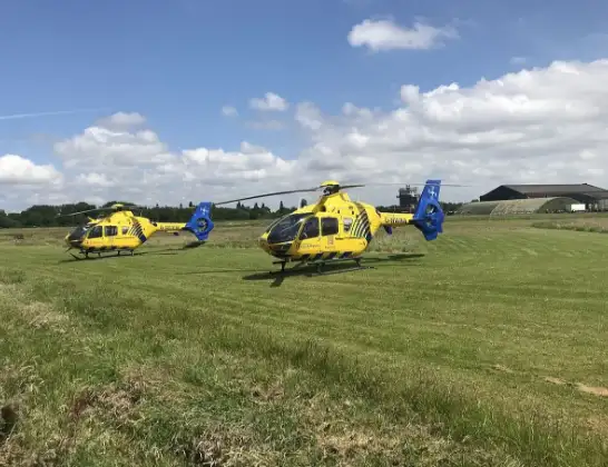
Photo: Legion23
27 miles
1175 feet
154 mph
11 minutes
13:37
13:47

Route
Derbyshire Road, 13:47
Barrow-in-Furness13:46
Roa Island13:45
Barrow-in-Furness13:45
Barrow13:44
Irish Sea13:40
Little Bispham, Lancashire13:40
Bispham, Lancashire13:39
Blackpool, Lancashire13:37
Great Marton Moss, Lancashire13:37
Amy Johnson Way, Lancashire13:37
Live flights
Today
Flights Barrow-in-Furness
Air Ambulance Helicopter to Blackpool Airport12 Jun 14:48
Helicopter flights on your website?
You can easily display helicopter flights on your own website. Use the embed code.
