Air Ambulance Helicopter to Fylde, Stubblefield Drive
Wednesday, 28 January 2026 | 17:10 | From Preston
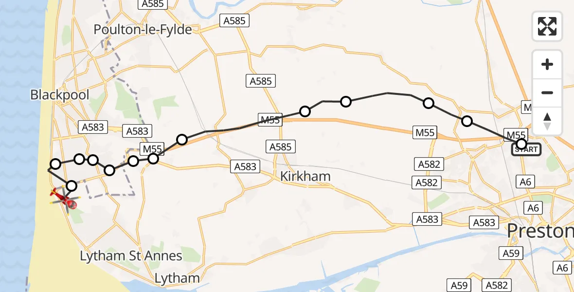
On Wednesday, 28 January 2026 at 17:10, a Air Ambulance Helicopter departed from Preston to Fylde. It was the Air Ambulance Helicopter with registration number G-NWAA. The flight lasted 7 minutes. During that period, the aircraft travelled 17 miles at an average speed of 146 miles per hour at a maximum altitude of 1550 feet.
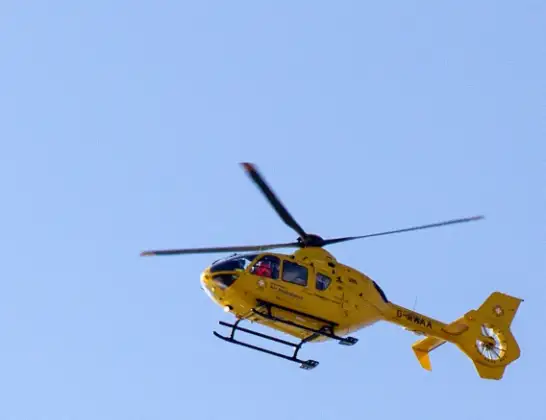
Helicopter: G-NWAA
The helicopter G-NWAA is used as a air ambulance helicopter. The main purpose of this aircraft is to transport a Mobile Medical Team to an incident as quickly as possible, enabling the trauma doctor to provide immediate first aid on site. The aircraft is flying this flight as Air Ambulance Helicopter.
Photo: David P Howard
17 miles
1550 feet
146 mph
7 minutes
17:10
17:17

Route
Stubblefield Drive, Lancashire17:17
Blackpool Airport, Blackpool17:16
Squires Gate, Lancashire17:16
Hawes Side, Lancashire17:16
Common Edge, Lancashire17:15
Great Marton Moss, Lancashire17:15
Blackpool, Lancashire17:15
Fylde, Lancashire17:15
Weeton, Preston17:14
Weeton, Fylde17:13
Fylde, Lancashire17:12
Catforth, Preston17:11
Woodplumpton, Preston17:11
Broughton, Preston17:10
Clanfield, Lancashire17:10
Live flights
Today
Flights Fylde
Air Ambulance Helicopter to Fylde25 Jun 12:25
Police Helicopter to Broughton, B512911 Apr 12:36
Flights Preston
Air Ambulance Helicopter to RAF Northolt12 Jul 21:21
Air Ambulance Helicopter to Blackpool Airport12 Jul 13:18
Air Ambulance Helicopter to Blackpool Airport10 Jul 19:35
Helicopter flights on your website?
You can easily display helicopter flights on your own website. Use the embed code.
