Air Ambulance Helicopter to Black Friars, Aylestone Road
Saturday, 12 September 2026 | 16:46 | From Mountsorrel
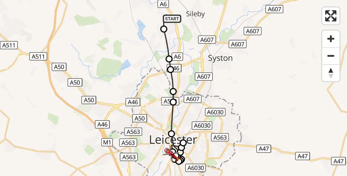
On Saturday, 12 September 2026 at 16:46, a Air Ambulance Helicopter departed from Mountsorrel to Black Friars. It was the Air Ambulance Helicopter with registration number G-DRLA. The flight lasted 7 minutes. During that period, the aircraft travelled 12 miles at an average speed of 104 miles per hour at a maximum altitude of 1125 feet.
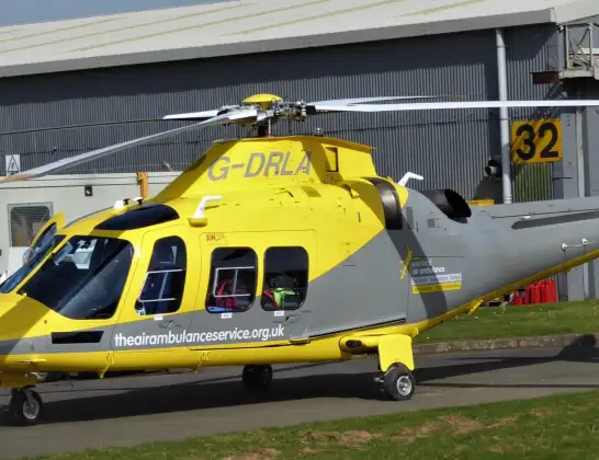
Helicopter: G-DRLA
The helicopter G-DRLA is used as an ambulance helicopter. The helicopter is equipped with a stretcher for transporting patients. The helicopter is often used to transport to hospitals.
Photo: Alec Wilson

13 miles
1125 feet

104 mph
7 minutes
16:46
16:53
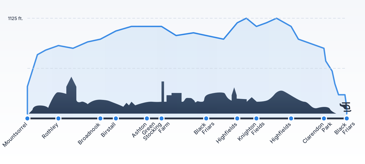
Route

Aylestone Road, Leicester16:53

Black Friars, Leicester16:52
Knighton Fields, Leicester16:52
Clarendon Park, Leicester16:52
St Matthew's, Leicester16:51
Highfields, Leicester16:51
Black Friars, Leicester16:51
Knighton Fields, Leicester16:50
Clarendon Park, Leicester16:50
Highfields, Leicester16:50
Black Friars, Leicester16:49
Stocking Farm, Leicester16:49
Ashton Green, Leicestershire16:48
Birstall, Leicestershire16:48
Broadnook, Leicestershire16:48
Rothley, Leicestershire16:47

A6, Leicestershire16:46
Live flights


Today
Flights Mountsorrel

Helicopter flights on your website?
You can easily display helicopter flights on your own website. Use the embed code.