Air Ambulance Helicopter to City of Nottingham, Padge Road
Wednesday, 15 July 2026 | 18:25 | From Mountsorrel
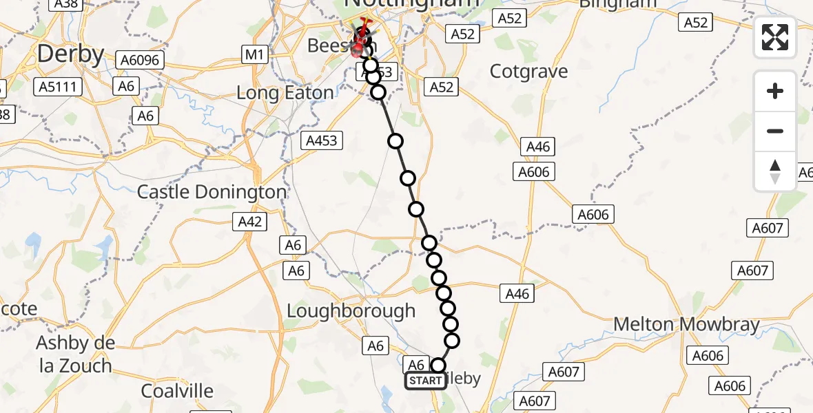
On Wednesday, 15 July 2026 at 18:25, a Air Ambulance Helicopter departed from Mountsorrel to City of Nottingham. It was the Air Ambulance Helicopter with registration number G-DRLA. The flight lasted 7 minutes. During that period, the aircraft travelled 15 miles at an average speed of 131 miles per hour at a maximum altitude of 750 feet.
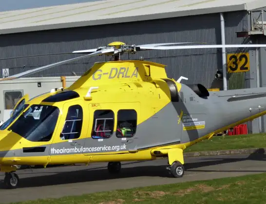
Helicopter: G-DRLA
The helicopter G-DRLA is used as an ambulance helicopter. The helicopter is equipped with a stretcher for transporting patients. The helicopter is often used to transport to hospitals.
Photo: Alec Wilson

16 miles
750 feet

131 mph
8 minutes
18:25
18:32
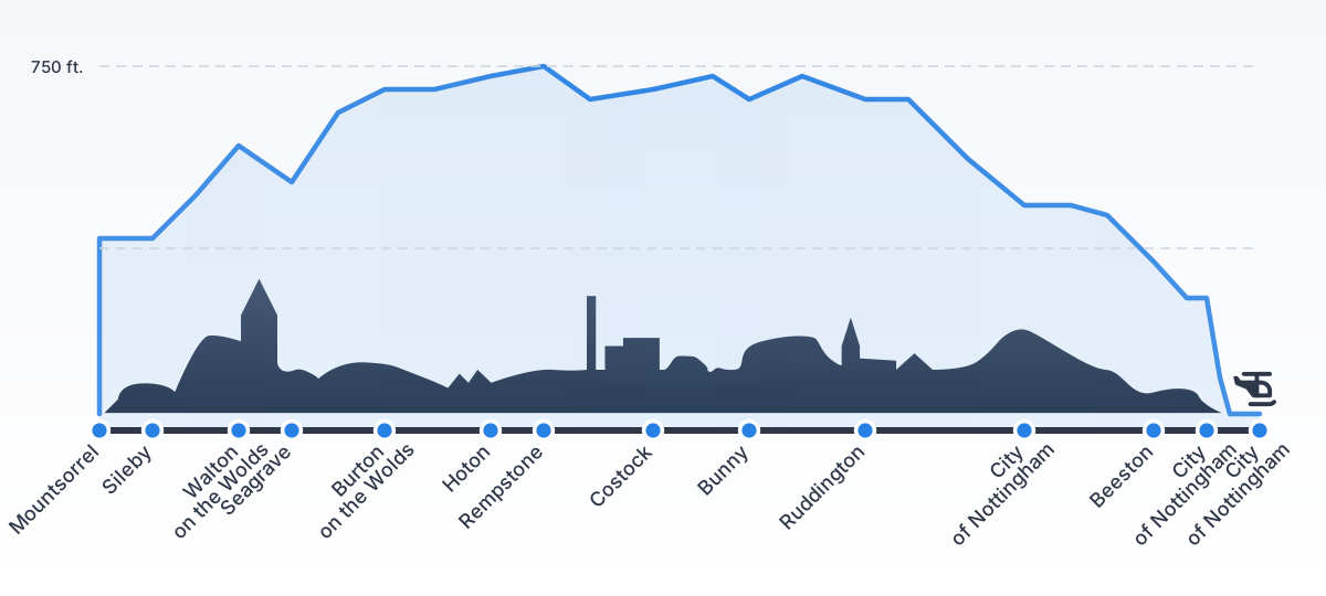
Route

Padge Road, Nottinghamshire18:32

City of Nottingham, Nottingham18:32
Beeston, Nottinghamshire18:32
City of Nottingham, Nottingham18:31
Beeston, Nottinghamshire18:31
City of Nottingham, Nottingham18:30
City of Nottingham, Nottinghamshire18:30
City of Nottingham, Nottingham18:30
Ruddington, Nottinghamshire18:29
Bunny, Nottinghamshire18:29
Costock, Nottinghamshire18:28
Rempstone, Nottinghamshire18:28
Hoton, Leicestershire18:27
Charnwood, Leicestershire18:27
Burton on the Wolds, Leicestershire18:27
Walton on the Wolds, Leicestershire18:27
Seagrave, Leicestershire18:26
Walton on the Wolds, Leicestershire18:26
Sileby, Leicestershire18:26

Mountsorrel Lane, Leicestershire18:25
Live flights

Today


Flights Mountsorrel

Helicopter flights on your website?
You can easily display helicopter flights on your own website. Use the embed code.