Air Ambulance Helicopter to Wreningham, Wymondham Road
Monday, 8 June 2026 | 19:15 | From Norwich Airport
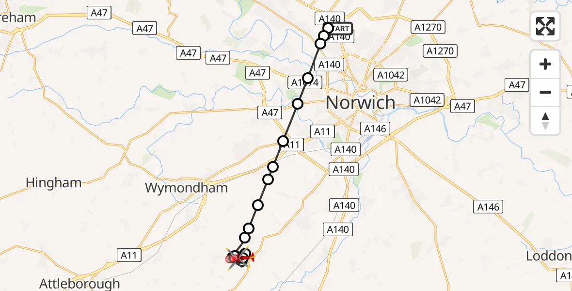
On Monday, 8 June 2026 at 19:15, a Air Ambulance Helicopter departed from Norwich Airport to Wreningham. It was the Air Ambulance Helicopter with registration number G-RESU. The flight lasted 11 minutes. During that period, the aircraft travelled 14 miles at an average speed of 75 miles per hour at a maximum altitude of 1175 feet.
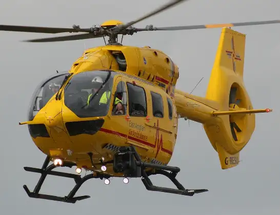
Helicopter: G-RESU
The helicopter G-RESU is used as a air ambulance helicopter. The main purpose of this aircraft is to transport a Mobile Medical Team to an incident as quickly as possible, enabling the trauma doctor to provide immediate first aid on site. The aircraft is flying this flight as Air Ambulance Helicopter.
Photo: Mike Burdett
14 miles
1175 feet
75 mph
12 minutes
19:15
19:26

Route
Wymondham Road, Norfolk19:26
Wreningham, Norfolk19:26
Ashwellthorpe and Fundenhall, Norfolk19:25
Wreningham, Norfolk19:24
Ashwellthorpe and Fundenhall, Norfolk19:24
Wreningham, Norfolk19:23
Fir Grove Airstrip, Wreningham19:23
Hethel, Norfolk19:22
East Carleton, Norfolk19:22
Ketteringham, Norfolk19:21
Hethersett, Norfolk19:21
Colney, Norfolk19:20
Norwich, Norfolk19:20
Broadland, Norfolk19:19
Norwich, Norfolk19:19
Broadland, Norfolk19:18
Norwich Airport, Norwich, Norfolk19:17
Norwich Airport, Norwich, Norfolk19:15
Live flights
Today
Flights Wreningham
Air Ambulance Helicopter to Norwich Airport2 Apr 16:27
Helicopter flights on your website?
You can easily display helicopter flights on your own website. Use the embed code.
