Air Ambulance Helicopter to Pinmore
Monday, 4 May 2026 | 17:17 | From Stranraer
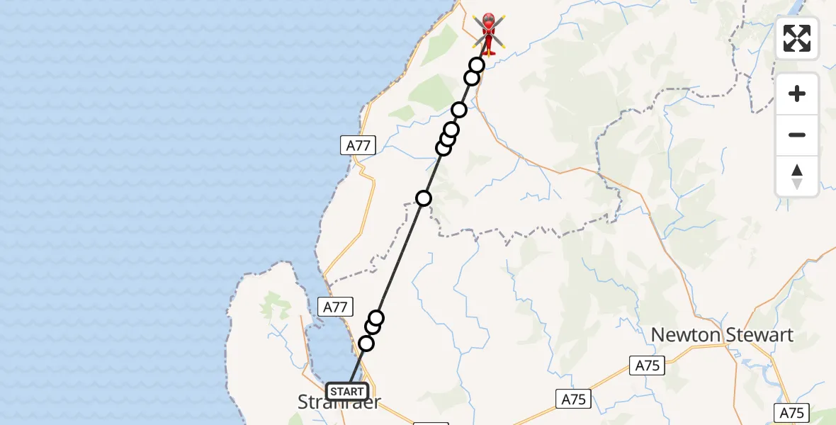
On Monday, 4 May 2026 at 17:17, a Air Ambulance Helicopter departed from Stranraer to Pinmore. It was the Air Ambulance Helicopter with registration number G-ISAS. The flight lasted 10 minutes. During that period, the aircraft travelled 21 miles at an average speed of 133 miles per hour at a maximum altitude of 1950 feet.
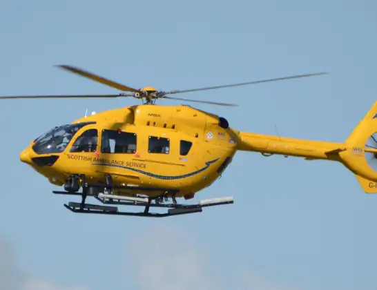
Helicopter: G-ISAS
The helicopter G-ISAS is used as a air ambulance helicopter. The main purpose of this aircraft is to transport a Mobile Medical Team to an incident as quickly as possible, enabling the trauma doctor to provide immediate first aid on site. The aircraft is flying this flight as Air Ambulance Helicopter.
Photo: Jonathan Payne
22 miles
1950 feet
133 mph
10 minutes
17:17
17:26

Route
Pinmore, South Ayrshire17:26
Pinmore, South Ayrshire17:25
Girvan, South Ayrshire17:25
Colmonell, South Ayrshire17:24
Poundland, South Ayrshire17:24
South Ayrshire, South Ayrshire17:24
Colmonell, South Ayrshire17:23
South Ayrshire, South Ayrshire17:22
Dumfries and Galloway, Dumfries and Galloway17:19
Stranraer, Dumfries and Galloway17:18
Dumfries and Galloway, Dumfries and Galloway17:18
Stranraer, Dumfries and Galloway17:17
Live flights
Today
Flights Pinmore
Air Ambulance Helicopter to Pinmore4 May 17:17
Air Ambulance Helicopter to Glasgow Airport2 May 15:30
Air Ambulance Helicopter to Pinmore2 May 14:03
Police Helicopter to Pinmore, A71415 Apr 21:07
Flights Stranraer
Air Ambulance Helicopter to Glasgow Airport23 May 23:51
Air Ambulance Helicopter to Knee of Cairnsmore18 May 15:52
Air Ambulance Helicopter to Stranraer18 May 13:06
Air Ambulance Helicopter to Pinmore4 May 17:17
Air Ambulance Helicopter to Stranraer4 May 16:22
Air Ambulance Helicopter to Laurieston26 Apr 06:19
Air Ambulance Helicopter to Stranraer26 Apr 03:59
Air Ambulance Helicopter to Glasgow Airport16 Mar 18:49
Helicopter flights on your website?
You can easily display helicopter flights on your own website. Use the embed code.
