Police Helicopter to Bryn, Port Talbot
Sunday, 3 May 2026 | 19:02 | From MOD St Athan
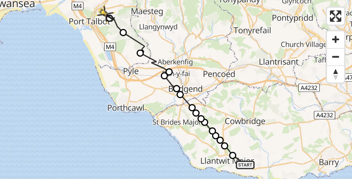
On Sunday, 3 May 2026 at 19:02, a Police Helicopter departed from MOD St Athan to Bryn. It was the Police Helicopter with registration number G-NWOI. The flight lasted 9 minutes. During that period, the aircraft travelled 22 miles at an average speed of 152 miles per hour at a maximum altitude of 1925 feet.
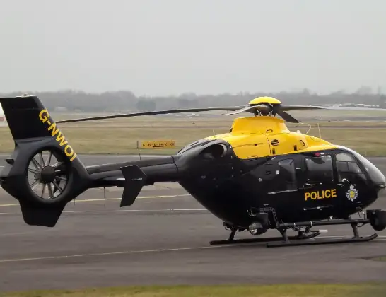
Helicopter: G-NWOI
The helicopter G-NWOI is used by the British police. The helicopter is deployed in pursuits, missing persons cases and other incidents where a helicopter provides added value.
Photo: James from Cheltenham
22 miles
1925 feet
152 mph
9 minutes
19:02
19:11

Route
Port Talbot, Neath Port Talbot19:11
Bryn, Neath Port Talbot19:10
Margam, Neath Port Talbot19:10
Pen y Bryn, Neath Port Talbot19:08
Cefn Cribwr, Bridgend19:07
Pen-y-fai, Bridgend19:07
Bryntirion, Bridgend19:06
Bridgend, Bridgend19:06
Corntown, Vale of Glamorgan19:05
Ewenny, Vale of Glamorgan19:05
Colwinston, Vale of Glamorgan19:05
St. Brides Major, Vale of Glamorgan19:04
Llandow, Vale of Glamorgan19:04
Llantwit Major, Vale of Glamorgan19:04
RAF Llandow, Llandow, Vale of Glamorgan19:03
Sigingstone, Vale of Glamorgan19:03
Llanmaes, Vale of Glamorgan19:03
MOD St Athan, St Athan, Vale of Glamorgan19:02
Live flights
Today
Flights Bryn
Police Helicopter to Bryn, Port Talbot3 May 19:02
Police Helicopter to MOD St Athan21 Apr 20:39
Police Helicopter to Pontypool4 Mar 13:35
Police Helicopter to Manchester Barton Aerodrome10 Jan 00:33
Helicopter flights on your website?
You can easily display helicopter flights on your own website. Use the embed code.
