Air Ambulance Helicopter to Rotherfield, Eridge Lane
Friday, 1 May 2026 | 20:30 | From Redhill Aerodrome
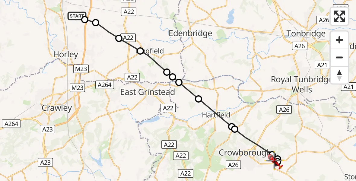
On Friday, 1 May 2026 at 20:30, a Air Ambulance Helicopter departed from Redhill Aerodrome to Rotherfield. It was the Air Ambulance Helicopter with registration number G-KSSC. The flight lasted 12 minutes. During that period, the aircraft travelled 22 miles at an average speed of 108 miles per hour at a maximum altitude of 1250 feet.
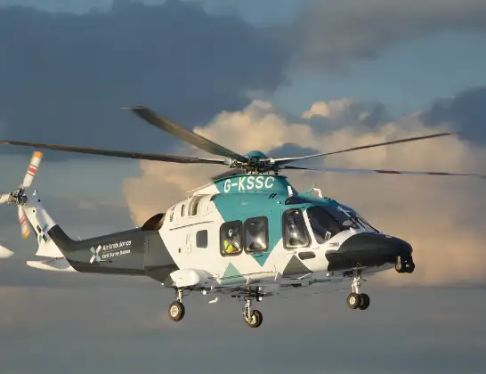
Helicopter: G-KSSC
The helicopter G-KSSC is used as a air ambulance helicopter. The main purpose of this aircraft is to transport a Mobile Medical Team to an incident as quickly as possible, enabling the trauma doctor to provide immediate first aid on site. The aircraft is flying this flight as Air Ambulance Helicopter.
Photo: Shona aakss
22 miles
1250 feet
108 mph
13 minutes
20:30
20:42

Route
Eridge Lane, East Sussex20:42
Rotherfield, East Sussex20:41
Town Row, East Sussex20:41
Rotherfield, East Sussex20:40
Wealden, East Sussex20:38
Withyham, East Sussex20:38
Hartfield, East Sussex20:37
Wealden, East Sussex20:36
Tandridge, Surrey20:36
Dormansland, Surrey20:36
Lingfield, Surrey20:35
Blindley Heath, Surrey20:34
Tandridge, Surrey20:33
Outwood, Surrey20:32
Redhill Aerodrome, Redhill, Surrey20:32
Redhill Aerodrome, Redhill, Surrey20:30
Live flights
Today
Flights Rotherfield
Helicopter flights on your website?
You can easily display helicopter flights on your own website. Use the embed code.
