Air Ambulance Helicopter to Rotherfield, Old Forest Lane
Wednesday, 1 April 2026 | 14:20 | From Redhill Aerodrome
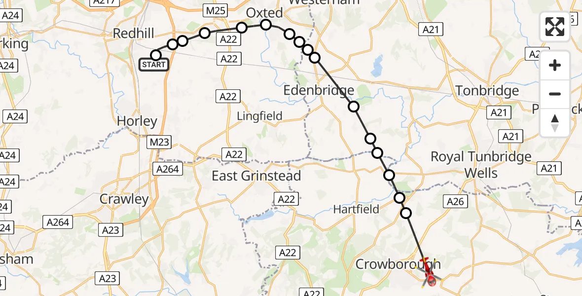
On Wednesday, 1 April 2026 at 14:20, a Air Ambulance Helicopter departed from Redhill Aerodrome to Rotherfield. It was the Air Ambulance Helicopter with registration number G-LNAC. The flight lasted 12 minutes. During that period, the aircraft travelled 23 miles at an average speed of 121 miles per hour at a maximum altitude of 975 feet.
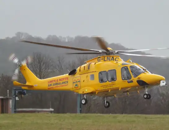
Helicopter: G-LNAC
The helicopter G-LNAC is used as a air ambulance helicopter. The main purpose of this aircraft is to transport a Mobile Medical Team to an incident as quickly as possible, enabling the trauma doctor to provide immediate first aid on site. The aircraft is flying this flight as Air Ambulance Helicopter.
Photo: James from Cheltenham, Gloucestershire
24 miles
975 feet
121 mph
12 minutes
14:20
14:31

Route
Old Forest Lane, East Sussex14:31
Wealden, East Sussex14:30
Groombridge, East Sussex14:30
Speldhurst, Kent14:29
Wealden, East Sussex14:29
Sevenoaks, Kent14:29
Hever, Kent14:28
Edenbridge, Kent14:27
Crockham Hill, Kent14:26
Merle Common, Surrey14:26
Limpsfield, Surrey14:26
Broadham Green, Surrey14:25
Old Oxted, Surrey14:25
Godstone, Surrey14:24
Bletchingley, Surrey14:24
Nutfield, Surrey14:23
Kings Mead, Surrey14:23
South Nutfield, Surrey14:23
Redhill Aerodrome, Redhill, Surrey14:20
Today
Flights Rotherfield
Helicopter flights on your website?
You can easily display helicopter flights on your own website. Use the embed code.
