Air Ambulance Helicopter to Bracebridge, Milman Road
Friday, 1 May 2026 | 19:37 | From Tuxford
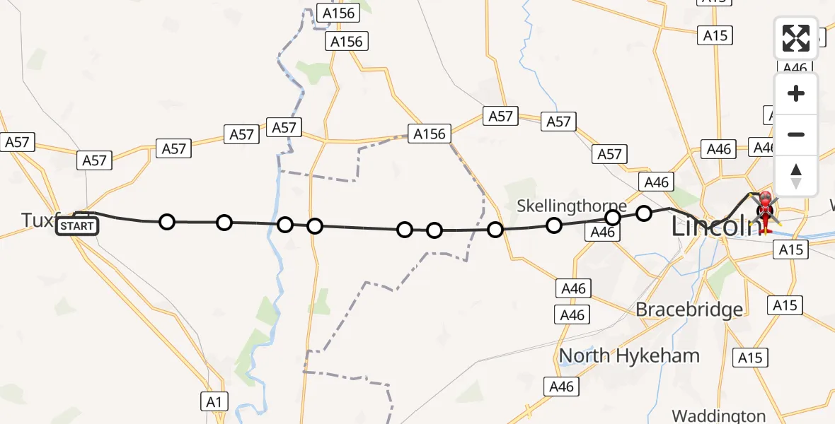
On Friday, 1 May 2026 at 19:37, a Air Ambulance Helicopter departed from Tuxford to Bracebridge. It was the Air Ambulance Helicopter with registration number G-LNCC. The flight lasted 11 minutes. During that period, the aircraft travelled 17 miles at an average speed of 96 miles per hour at a maximum altitude of 700 feet.
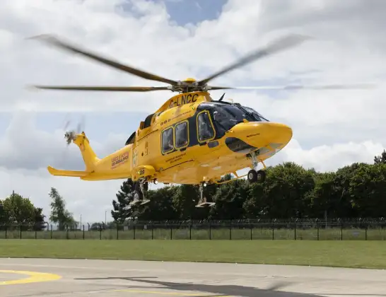
Helicopter: G-LNCC
The helicopter G-LNCC is used as a air ambulance helicopter. The main purpose of this aircraft is to transport a Mobile Medical Team to an incident as quickly as possible, enabling the trauma doctor to provide immediate first aid on site. The aircraft is flying this flight as Air Ambulance Helicopter.
Photo: Lincs & Notts
17 miles
700 feet
96 mph
11 minutes
19:37
19:48

Route
Bracebridge, Lincolnshire19:48
Milman Road, Lincolnshire19:47
Milman Road, Lincolnshire19:47
Bracebridge, Lincolnshire19:47
Lincoln, Lincolnshire19:44
Bracebridge, Lincolnshire19:44
Skellingthorpe, Lincolnshire19:43
North Kesteven, Lincolnshire19:43
Harby, Nottinghamshire19:42
Wigsley, Nottinghamshire19:42
South Clifton, Nottinghamshire19:41
North Clifton, Nottinghamshire19:41
High Marnham, Nottinghamshire19:41
Bassetlaw, Nottinghamshire19:40
Gilbert Avenue, Nottinghamshire19:38
Tuxford, Nottinghamshire19:37
Today
Coastguard Drone to North Sea05:04:53
Coastguard Drone to North Sea03:34:33
Flights Bracebridge
Flights Tuxford
Helicopter flights on your website?
You can easily display helicopter flights on your own website. Use the embed code.
