Air Ambulance Helicopter to Tuxford, Gilbert Avenue
Friday, 1 May 2026 | 18:43 | From RAF Waddington
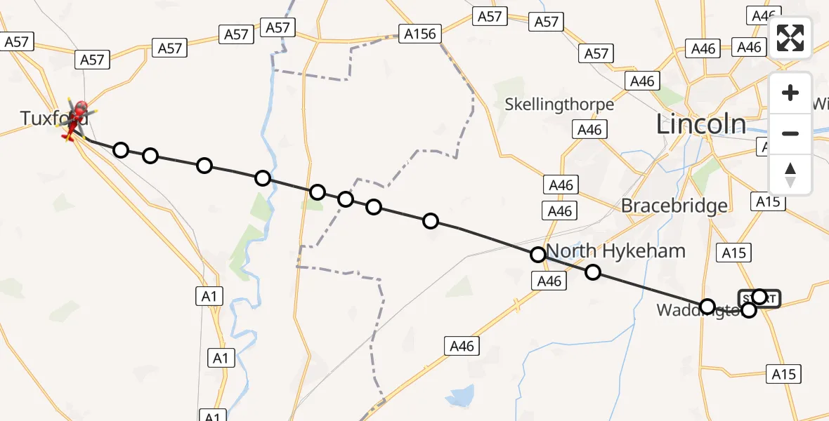
On Friday, 1 May 2026 at 18:43, a Air Ambulance Helicopter departed from RAF Waddington to Tuxford. It was the Air Ambulance Helicopter with registration number G-LNCC. The flight lasted 11 minutes. During that period, the aircraft travelled 18 miles at an average speed of 98 miles per hour at a maximum altitude of 825 feet.
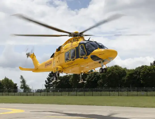
Helicopter: G-LNCC
The helicopter G-LNCC is used as a air ambulance helicopter. The main purpose of this aircraft is to transport a Mobile Medical Team to an incident as quickly as possible, enabling the trauma doctor to provide immediate first aid on site. The aircraft is flying this flight as Air Ambulance Helicopter.
Photo: Lincs & Notts
18 miles
825 feet
98 mph
11 minutes
18:43
18:54

Route
Tuxford, Nottinghamshire18:54
Gilbert Avenue, Nottinghamshire18:54
Gilbert Avenue, Nottinghamshire18:54
Tuxford, Nottinghamshire18:52
Weston CP, Nottinghamshire18:51
Normanton on Trent, Nottinghamshire18:51
Low Marnham, Nottinghamshire18:50
Newark and Sherwood, Nottinghamshire18:50
North Kesteven, Lincolnshire18:50
North Scarle, Lincolnshire18:49
Eagle, Lincolnshire18:49
Thorpe on the Hill, Lincolnshire18:48
North Hykeham, Lincolnshire18:47
Waddington, Lincolnshire18:46
RAF Waddington, Lincoln, Lincolnshire18:46
Sleaford Road, Lincolnshire18:45
North Kesteven, Lincolnshire18:43
RAF Waddington, Lincoln, Lincolnshire18:43
Today
Police Helicopter to East Ardsley, Stoney Lane15 Jun 23:59
Flights Tuxford
Helicopter flights on your website?
You can easily display helicopter flights on your own website. Use the embed code.
