Air Ambulance Helicopter to Bramhope, Moor Road
Friday, 1 May 2026 | 15:34 | From RAF Topcliffe
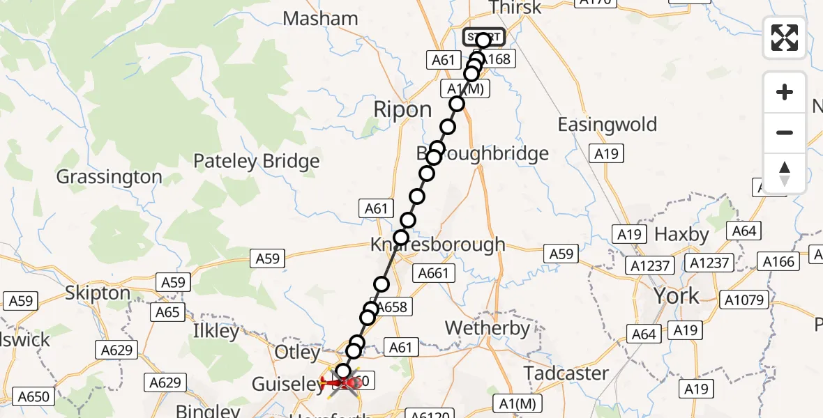
On Friday, 1 May 2026 at 15:34, a Air Ambulance Helicopter departed from RAF Topcliffe to Bramhope. It was the Air Ambulance Helicopter with registration number G-YORX. The flight lasted 14 minutes. During that period, the aircraft travelled 25 miles at an average speed of 106 miles per hour at a maximum altitude of 1275 feet.
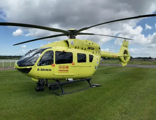
Helicopter: G-YORX
The helicopter G-YORX is used as a air ambulance helicopter. The main purpose of this aircraft is to transport a Mobile Medical Team to an incident as quickly as possible, enabling the trauma doctor to provide immediate first aid on site. The aircraft is flying this flight as Air Ambulance Helicopter.
Photo: Arollin96227
26 miles
1275 feet
106 mph
15 minutes
15:34
15:48

Route
Bramhope, Leeds15:48
Moor Road, West Yorkshire - Leeds15:48
Bramhope, Leeds15:46
Arthington, Leeds15:45
Leathley, North Yorkshire15:45
Huby, North Yorkshire15:44
North Rigton, North Yorkshire15:44
Burn Bridge, North Yorkshire15:43
Harrogate, North Yorkshire15:42
Scotton, North Yorkshire15:41
Brearton, North Yorkshire15:40
Burton Leonard, North Yorkshire15:40
Bishop Monkton, North Yorkshire15:39
Westwick, North Yorkshire15:39
Skelton-on-Ure, North Yorkshire15:38
Marton-le-Moor, North Yorkshire15:37
Dishforth, North Yorkshire15:36
Rainton with Newby, North Yorkshire15:36
Thirsk, North Yorkshire15:36
A167, North Yorkshire15:36
Topcliffe, North Yorkshire15:35
RAF Topcliffe, Thirsk, North Yorkshire15:34
Live flights
Today
Coastguard Helicopter to Balcary18:20:49
Flights Bramhope
Helicopter flights on your website?
You can easily display helicopter flights on your own website. Use the embed code.
