Air Ambulance Helicopter to Cumnor, Eynsham Road
Wednesday, 29 April 2026 | 12:36 | From Peasemore
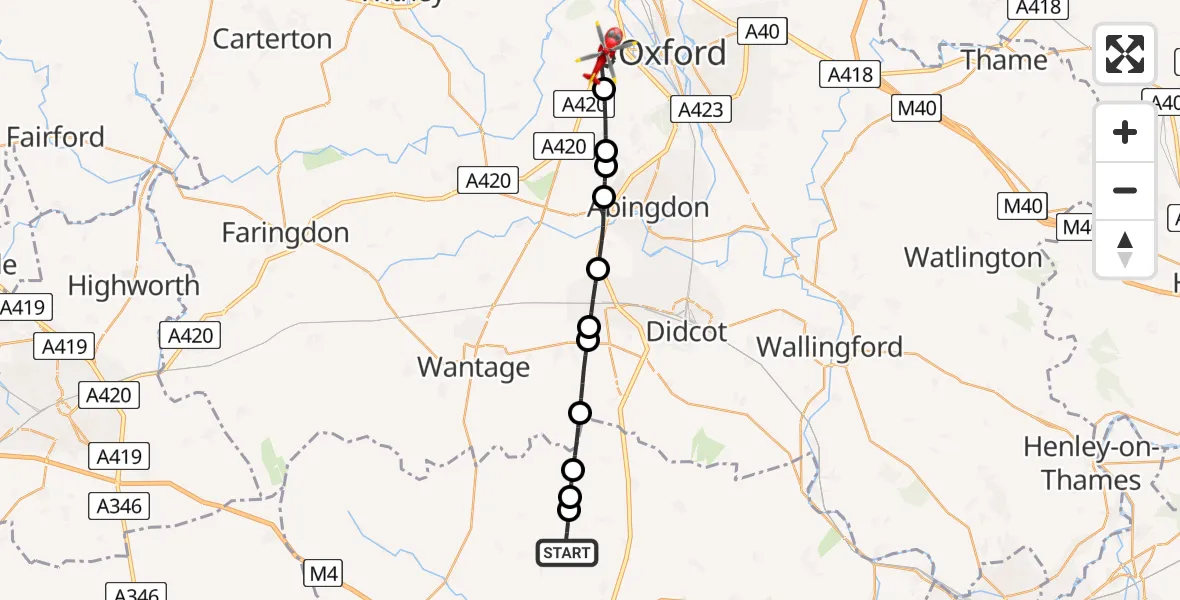
On Wednesday, 29 April 2026 at 12:36, a Air Ambulance Helicopter departed from Peasemore to Cumnor. It was the Air Ambulance Helicopter with registration number G-TVLY. The flight lasted 11 minutes. During that period, the aircraft travelled 20 miles at an average speed of 109 miles per hour at a maximum altitude of 1175 feet.
Helicopter: G-TVLY
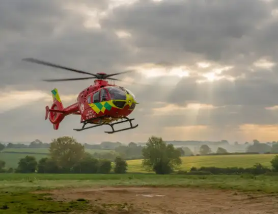
The helicopter G-TVLY is used as a air ambulance helicopter. The main purpose of this aircraft is to transport a Mobile Medical Team to an incident as quickly as possible, enabling the trauma doctor to provide immediate first aid on site. The aircraft is flying this flight as Air Ambulance Helicopter.
Photo: Tony Melony
20 miles
1175 feet
109 mph
11 minutes
12:36
12:47

Route
Eynsham Road, Oxfordshire12:47
Cumnor, Oxfordshire12:45
Wootton, Oxfordshire12:44
RAF Abingdon, Abingdon, Oxfordshire12:43
Shippon, Oxfordshire12:43
Abingdon, Oxfordshire12:42
Steventon, Oxfordshire12:41
Milton, Oxfordshire12:40
East Hendred, Oxfordshire12:39
West Ilsley, West Berkshire12:38
Catmore, West Berkshire12:38
West Ilsley, West Berkshire12:37
Hillgreen Lane, West Berkshire12:36
Live flights
Today
Flights Cumnor
Air Ambulance Helicopter to Oxford, Saxon Way29 Apr 14:15
Air Ambulance Helicopter to Cumnor, Eynsham Road29 Apr 12:36
Flights Peasemore
Air Ambulance Helicopter to Cumnor, Eynsham Road29 Apr 12:36
Helicopter flights on your website?
You can easily display helicopter flights on your own website. Use the embed code.
