Coastguard Helicopter to Meall na Cuilce, Coir' a' Chruidh
Tuesday, 28 April 2026 | 14:57 | From Broadford - An t-Àth Leathann
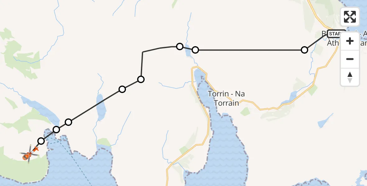
On Tuesday, 28 April 2026 at 14:57, a Coastguard Helicopter departed from Broadford - An t-Àth Leathann to Meall na Cuilce. It was the Coastguard Helicopter with registration number G-MCGX. The flight lasted 6 minutes. During that period, the aircraft travelled 12 miles at an average speed of 121 miles per hour at a maximum altitude of 2650 feet.
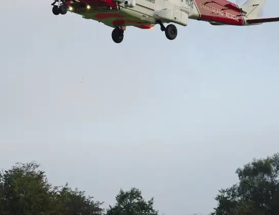
Helicopter: G-MCGX
The helicopter G-MCGX is used by the British Coastguard. The helicopter is deployed in search and rescue operations at sea, rescue operations involving ships or drilling platforms, patrols to prevent smuggling or piracy, environmental monitoring and disaster relief support.
Photo: Nick (UK)
12 miles
2650 feet
121 mph
6 minutes
14:57
15:02

Route
Coir' a' Chruidh, Highland15:02
Meall na Cuilce, Highland15:02
Coruisk Memorial Hut, Highland15:02
The Bad Step, Highland15:02
Highland, Highland15:01
Fionna-choire, Highland15:00
Highland, Highland14:59
Torrin - Na Torrain, Highland14:59
Old Corry, Highland14:57
Rathad na h-Atha, Highland14:57
Live flights
Today
Helicopter flights on your website?
You can easily display helicopter flights on your own website. Use the embed code.
