Air Ambulance Helicopter to St Marys Hospital Isle Of Wight, Medina Way
Tuesday, 28 April 2026 | 16:13 | From Hedge End
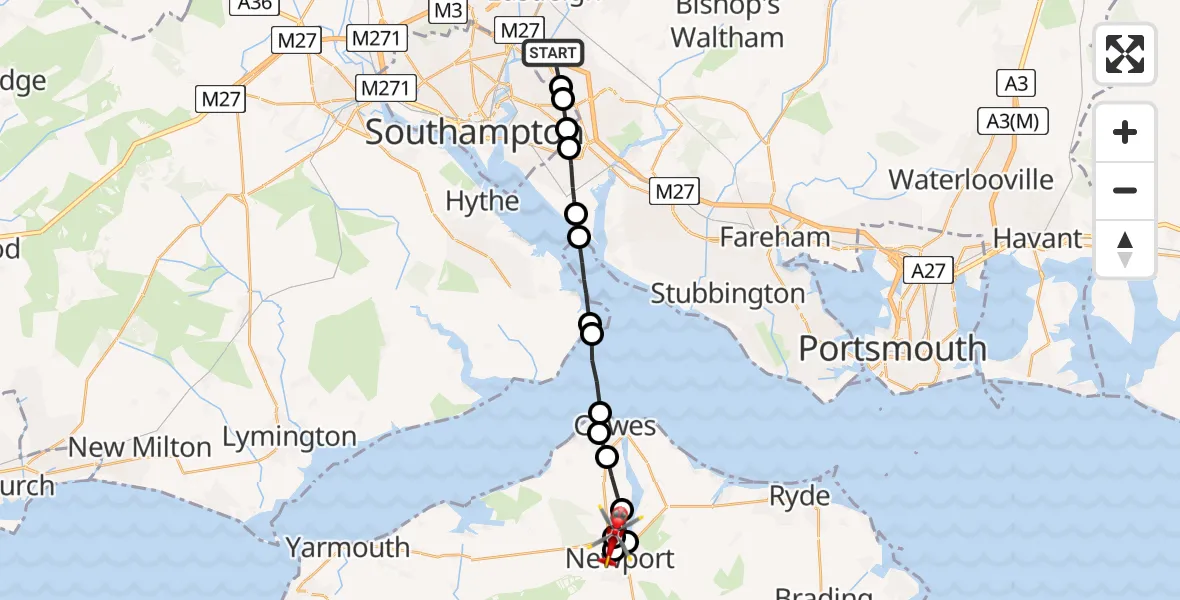
On Tuesday, 28 April 2026 at 16:13, a Air Ambulance Helicopter departed from Hedge End to St Marys Hospital Isle Of Wight. It was the Air Ambulance Helicopter with registration number G-HIOW. The flight lasted 9 minutes. During that period, the aircraft travelled 18 miles at an average speed of 128 miles per hour at a maximum altitude of 1375 feet.
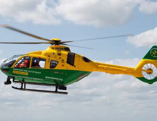
Helicopter: G-HIOW
The helicopter G-HIOW is used as a air ambulance helicopter. The main purpose of this aircraft is to transport a Mobile Medical Team to an incident as quickly as possible, enabling the trauma doctor to provide immediate first aid on site. The aircraft is flying this flight as Air Ambulance Helicopter.
Photo: JF2608
19 miles
1375 feet
128 mph
9 minutes
16:13
16:21

Route
St Marys Hospital Isle Of Wight, Newport16:21
St Marys Hospital Isle Of Wight, Newport16:21
Medina Way, Isle of Wight16:20
Dodnor Lane, Isle of Wight16:20
Medina Way, Isle of Wight16:20
Redver Gardens, Isle of Wight16:19
River Medina16:19
Newport, Isle of Wight16:19
Northwood, Isle of Wight16:18
Cowes, Isle of Wight16:18
Gurnard, Isle of Wight16:17
English Channel16:16
Calshot, Hampshire16:16
Southampton Water16:15
Hamble (Ensign Business Park) Airfield, Southampton, Hampshire16:15
Eastleigh, Hampshire16:14
Thornhill, Southampton16:14
Harefield, Southampton16:13
Harefield, Hampshire16:13
Woods and Meadows Walk, Hampshire16:13
Live flights
Police Helicopter on its way from Dundrod12 Jul 22:50
Today
Police Helicopter to East Ardsley, Stoney Lane12 Jul 23:51
Police Helicopter to Birmingham Airport12 Jul 23:46
Police Helicopter to Parkham Ash12 Jul 23:41
Air Ambulance Helicopter to Newlands of Culloden12 Jul 23:24
Helicopter flights on your website?
You can easily display helicopter flights on your own website. Use the embed code.
