Police Helicopter to Mawdlam, Water Street
Tuesday, 28 April 2026 | 16:13 | From Llandow
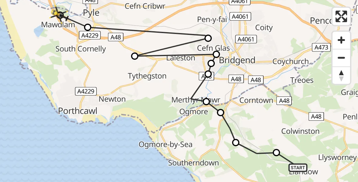
On Tuesday, 28 April 2026 at 16:13, a Police Helicopter departed from Llandow to Mawdlam. It was the Police Helicopter with registration number G-NWOI. The flight lasted 4 minutes. During that period, the aircraft travelled 17 miles at an average speed of 262 miles per hour at a maximum altitude of 700 feet.
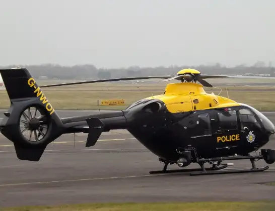
Helicopter: G-NWOI
The helicopter G-NWOI is used by the British police. The helicopter is deployed in pursuits, missing persons cases and other incidents where a helicopter provides added value.
Photo: James from Cheltenham
18 miles
700 feet
262 mph
4 minutes
16:13
16:16

Route
Water Street, Bridgend16:16
Mawdlam, Bridgend16:16
Pyle, Bridgend16:16
Bryntirion, Bridgend16:16
Tythegston, Bridgend16:15
Bridgend, Bridgend16:15
Bryntirion, Bridgend16:15
Broadlands, Bridgend16:15
Merthyr Mawr, Bridgend16:14
Ewenny, Vale of Glamorgan16:14
St Brides Major, Vale of Glamorgan16:13
St. Brides Major, Vale of Glamorgan16:13
Ty-Draw, Vale of Glamorgan16:13
Live flights
Today
Flights Mawdlam
Police Helicopter to Mawdlam, Water Street28 Apr 16:13
Air Ambulance Helicopter to Cardiff Heliport21 Mar 16:32
Flights Llandow
Police Helicopter to Mawdlam, Water Street28 Apr 16:13
Helicopter flights on your website?
You can easily display helicopter flights on your own website. Use the embed code.
