Air Ambulance Helicopter to Brynna, New Road
Tuesday, 28 April 2026 | 4:28 | From Brynna
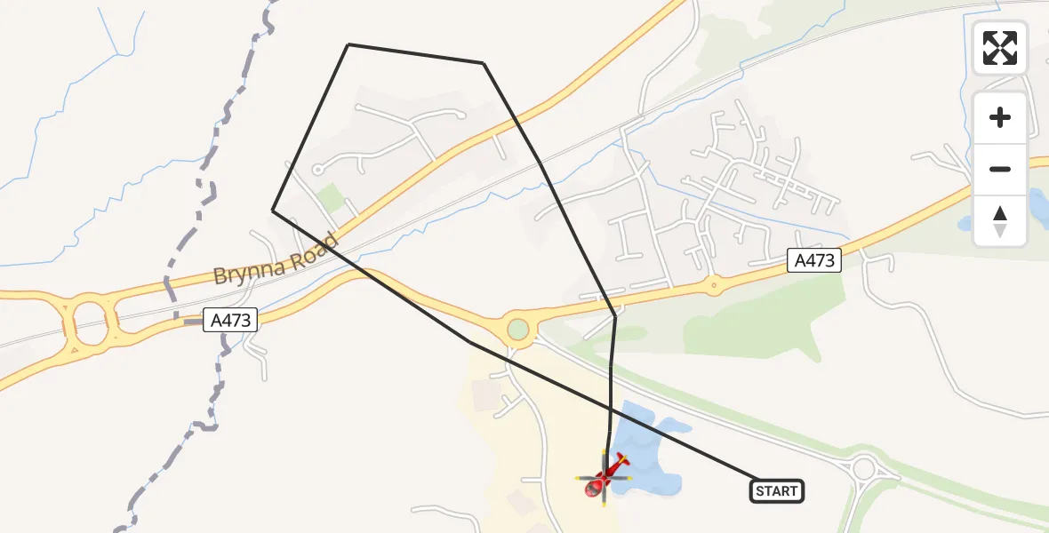
On Tuesday, 28 April 2026 at 4:28, a Air Ambulance Helicopter departed from Brynna to Brynna. It was the Air Ambulance Helicopter with registration number G-WYDN. The flight lasted 3 minutes. During that period, the aircraft travelled 2 miles at an average speed of 32 miles per hour at a maximum altitude of 475 feet.

Helicopter: G-WYDN
The helicopter G-WYDN is used as a air ambulance helicopter. The main purpose of this aircraft is to transport a Mobile Medical Team to an incident as quickly as possible, enabling the trauma doctor to provide immediate first aid on site. The aircraft is flying this flight as Air Ambulance Helicopter.
Photo: Tony Melony
2 miles
475 feet
32 mph
3 minutes
04:28
04:31

Route
New Road, Rhondda Cynon Taf04:31
Brynna, Rhondda Cynon Taf04:28
Live flights
Today
Police Helicopter to Fylde10:20:53
Flights Brynna
Air Ambulance Helicopter to Dafen, Heol Aur28 Apr 05:04
Air Ambulance Helicopter to Brynna28 Apr 04:33
Air Ambulance Helicopter to Brynna, New Road28 Apr 04:28
Air Ambulance Helicopter to Brynna, New Road28 Apr 03:42
Air Ambulance Helicopter to Brynna, New Road28 Apr 01:55
Air Ambulance Helicopter to Brynna28 Apr 00:25
Air Ambulance Helicopter to Brynna, New Road27 Apr 19:51
Air Ambulance Helicopter to Brynna, Gordon Road23 Mar 14:23
Helicopter flights on your website?
You can easily display helicopter flights on your own website. Use the embed code.
