Air Ambulance Helicopter to Brynna, Gordon Road
Monday, 23 March 2026 | 14:23 | From Sandfields
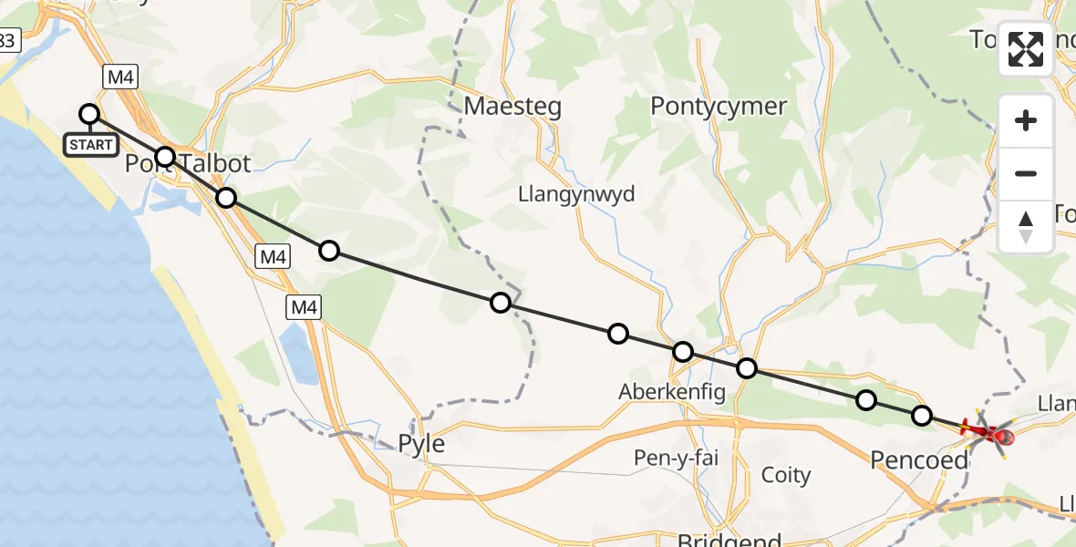
On Monday, 23 March 2026 at 14:23, a Air Ambulance Helicopter departed from Sandfields to Brynna. It was the Air Ambulance Helicopter with registration number G-WROL. The flight lasted 17 minutes. During that period, the aircraft travelled 16 miles at an average speed of 58 miles per hour at a maximum altitude of 1325 feet.
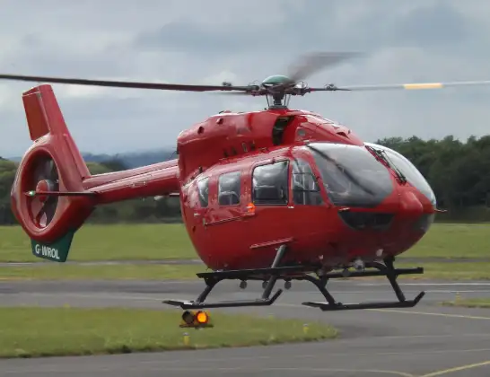
Helicopter: G-WROL
The helicopter G-WROL is used as a air ambulance helicopter. The main purpose of this aircraft is to transport a Mobile Medical Team to an incident as quickly as possible, enabling the trauma doctor to provide immediate first aid on site. The aircraft is flying this flight as Air Ambulance Helicopter.
Photo: James from Cheltenham, Gloucestershire
17 miles
1325 feet
58 mph
17 minutes
14:23
14:39

Route
Brynna, Brynna14:29
Pencoed, Pencoed14:29
Heol-y-cyw, Heol-y-cyw14:29
Bryncethin, Bryncethin14:28
Tondu, Tondu14:27
Llangynwyd Lower, Llangynwyd Lower14:27
Pen y Bryn, Pen y Bryn14:26
Margam, Margam14:25
Taibach, Taibach14:24
Aberavon, Aberavon14:24
Port Talbot, Port Talbot14:23
Gordon Road, Sandfields14:23
Live flights
Police Helicopter on its way from Ewelme13 Jul 22:24
Today
Police Helicopter to Bournemouth Airport13 Jul 23:55
Air Ambulance Helicopter to Cardiff Heliport13 Jul 23:38
Police Helicopter to Birmingham Airport13 Jul 23:21
Police Helicopter to Irlam, Twelve Yards Road13 Jul 23:00
Flights Brynna
Air Ambulance Helicopter to Dafen, Heol Aur28 Apr 05:04
Air Ambulance Helicopter to Brynna28 Apr 04:33
Air Ambulance Helicopter to Brynna, New Road28 Apr 04:28
Air Ambulance Helicopter to Brynna, New Road28 Apr 03:42
Air Ambulance Helicopter to Brynna, New Road28 Apr 01:55
Air Ambulance Helicopter to Brynna28 Apr 00:25
Air Ambulance Helicopter to Brynna, New Road27 Apr 19:51
Air Ambulance Helicopter to Brynna, Gordon Road23 Mar 14:23
Flights Sandfields
Police Helicopter to Sandfields14 May 22:16
Air Ambulance Helicopter to Brynna, Gordon Road23 Mar 14:23
Air Ambulance Helicopter to Sandfields, Dew Road23 Mar 13:08
Helicopter flights on your website?
You can easily display helicopter flights on your own website. Use the embed code.
