Police Helicopter to MOD St Athan
Monday, 27 April 2026 | 13:11 | From Brynmill
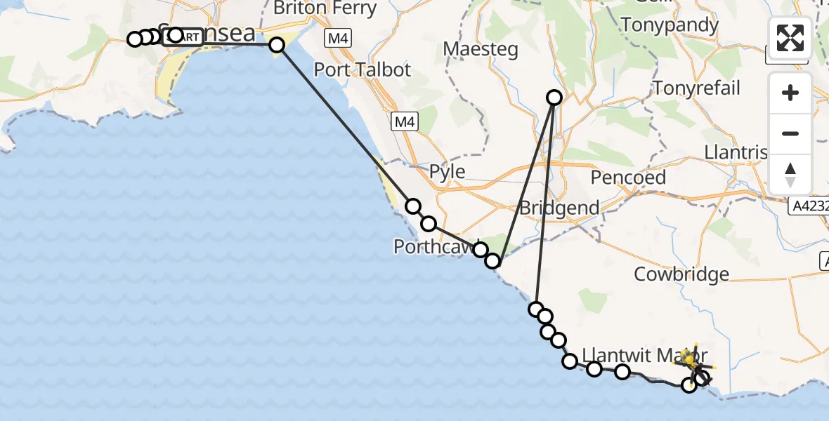
On Monday, 27 April 2026 at 13:11, a Police Helicopter departed from Brynmill to MOD St Athan. It was the Police Helicopter with registration number G-NWOI. The flight lasted 20 minutes. During that period, the aircraft travelled 52 miles at an average speed of 155 miles per hour at a maximum altitude of 900 feet.
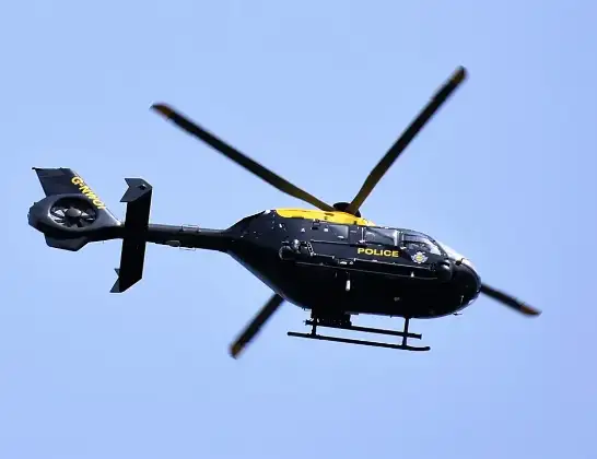
Helicopter: G-NWOI
The helicopter G-NWOI is used by the British police. The helicopter is deployed in pursuits, missing persons cases and other incidents where a helicopter provides added value.
Photo: Alec Wilson
52 miles
900 feet
155 mph
21 minutes
13:11
13:31

Route
MOD St Athan, St Athan, Vale of Glamorgan13:31
MOD St Athan, St Athan, Vale of Glamorgan13:30
St Athan, Vale of Glamorgan13:30
Llantwit Major, Vale of Glamorgan13:28
St Donats, Vale of Glamorgan13:28
Marcross, Vale of Glamorgan13:27
Monknash, Vale of Glamorgan13:27
Southerndown, Vale of Glamorgan13:27
St Brides Major, Vale of Glamorgan13:26
Southerndown, Vale of Glamorgan13:26
Bettws, Bridgend13:26
Bridgend, Vale of Glamorgan13:25
Merthyr Mawr, Bridgend13:25
Porthcawl, Bridgend13:24
Cornelly, Bridgend13:23
Coedffranc, Neath Port Talbot13:19
Dunvant, Swansea13:12
Olchfa, Swansea13:12
Penyrheol, Swansea13:12
Tycoch, Swansea13:11
Pant Y Gwydr Road, Swansea13:11
Live flights
Today
Flights Brynmill
Police Helicopter to MOD St Athan27 Apr 13:11
Police Helicopter to MOD St Athan25 Apr 09:54
Police Helicopter to Brynmill, Brynmill Crescent22 Apr 14:42
Helicopter flights on your website?
You can easily display helicopter flights on your own website. Use the embed code.
