Police Helicopter to MOD St Athan
Saturday, 25 April 2026 | 9:54 | From Brynmill
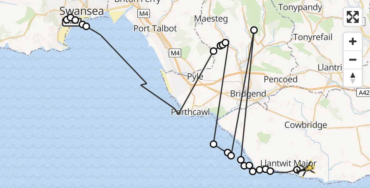
On Saturday, 25 April 2026 at 9:54, a Police Helicopter departed from Brynmill to MOD St Athan. It was the Police Helicopter with registration number G-NWOI. The flight lasted 15 minutes. During that period, the aircraft travelled 69 miles at an average speed of 278 miles per hour at a maximum altitude of 1200 feet.
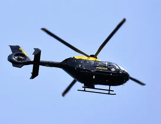
Helicopter: G-NWOI
The helicopter G-NWOI is used by the British police. The helicopter is deployed in pursuits, missing persons cases and other incidents where a helicopter provides added value.
Photo: Alec Wilson
69 miles
1200 feet
278 mph
15 minutes
09:54
10:08

Route
MOD St Athan, St Athan, Vale of Glamorgan10:08
Boverton, Vale of Glamorgan10:08
Llantwit Major, Vale of Glamorgan10:07
St Donats, Vale of Glamorgan10:07
Marcross, Vale of Glamorgan10:06
Bristol Channel10:06
Monknash, Vale of Glamorgan10:06
Bristol Channel10:06
Monknash, Vale of Glamorgan10:05
Garw Valley, Bridgend10:05
Bristol Channel10:05
Southerndown, Vale of Glamorgan10:05
Bristol Channel10:04
Coytrahen, Bridgend10:03
Llangynwyd, Bridgend10:03
Coytrahen, Bridgend10:03
Llangynwyd Middle, Bridgend10:02
Bristol Channel09:56
Mount Pleasant, Swansea09:55
Waterfront, Swansea09:55
Brynmill, Swansea09:55
Singleton, Swansea09:54
Swansea Bay Cycle Path, Swansea09:54
Live flights
Today
Flights Brynmill
Police Helicopter to MOD St Athan27 Apr 13:11
Police Helicopter to MOD St Athan25 Apr 09:54
Police Helicopter to Brynmill, Brynmill Crescent22 Apr 14:42
Helicopter flights on your website?
You can easily display helicopter flights on your own website. Use the embed code.
