Air Ambulance Helicopter to Bodelwyddan, Ffordd Parc Castell
Saturday, 25 April 2026 | 17:10 | From Trefriw
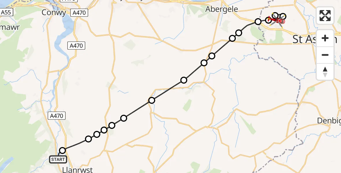
On Saturday, 25 April 2026 at 17:10, a Air Ambulance Helicopter departed from Trefriw to Bodelwyddan. It was the Air Ambulance Helicopter with registration number G-WOBR. The flight lasted 11 minutes. During that period, the aircraft travelled 17 miles at an average speed of 99 miles per hour at a maximum altitude of 1825 feet.
Helicopter: G-WOBR
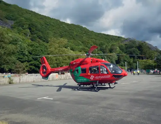
The helicopter G-WOBR is used as a air ambulance helicopter. The main purpose of this aircraft is to transport a Mobile Medical Team to an incident as quickly as possible, enabling the trauma doctor to provide immediate first aid on site. The aircraft is flying this flight as Air Ambulance Helicopter.
Photo: Hefin Owen
18 miles
1825 feet
99 mph
11 minutes
17:10
17:21

Route
Ffordd Parc Castell, Denbighshire17:21
Bodelwyddan, Denbighshire17:20
St Asaph, Denbighshire17:20
Bodelwyddan, Denbighshire17:19
Bodelwyddan, Conwy17:18
St. George, Conwy17:17
Abergele, Conwy17:17
Llanfair Talhaiarn, Conwy17:16
Llanfair Talhaearn, Conwy17:16
Llanfair Talhaiarn, Conwy17:15
Llanfair Talhaearn, Conwy17:14
Llangernyw, Conwy17:13
Eglwysbach, Conwy17:13
Llanrwst, Conwy17:12
Eglwysbach, Conwy17:12
Llanddoged, Conwy17:12
Llanrwst, Conwy17:11
Gower Road, Conwy17:10
Live flights
Today
Flights Bodelwyddan
Air Ambulance Helicopter to Welshpool Airport13 Jan 19:17
Flights Trefriw
Police Helicopter to Trefriw, Crafnant Road11 May 14:44
Air Ambulance Helicopter to Trefriw25 Apr 16:26
Air Ambulance Helicopter to Trefriw, Gower Road25 Apr 16:06
Air Ambulance Helicopter to Caernarfon Airport12 Apr 18:33
Coastguard Helicopter to Caernarfon Airport4 Mar 10:34
Coastguard Helicopter to Trefriw4 Mar 10:21
Coastguard Helicopter to Irish Sea12 Jan 17:35
Helicopter flights on your website?
You can easily display helicopter flights on your own website. Use the embed code.
