Police Helicopter to Begbroke, Orchard Field Lane
Friday, 24 April 2026 | 9:44 | From West Oxfordshire
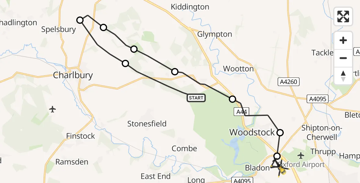
On Friday, 24 April 2026 at 9:44, a Police Helicopter departed from West Oxfordshire to Begbroke. It was the Police Helicopter with registration number G-POLU. The flight lasted 6 minutes. During that period, the aircraft travelled 13 miles at an average speed of 125 miles per hour at a maximum altitude of 1200 feet.
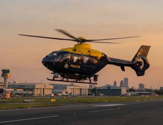
Helicopter: G-POLU
The helicopter G-POLU is used by the British police. The helicopter is deployed in pursuits, missing persons cases and other incidents where a helicopter provides added value.
Photo: Tony Melony
14 miles
1200 feet
125 mph
7 minutes
09:44
09:50

Route
Orchard Field Lane, Oxfordshire09:50
Kidlington, Oxfordshire09:50
Cherwell, Oxfordshire09:50
Woodstock, Oxfordshire09:49
West Oxfordshire, Oxfordshire09:48
Kiddington, Oxfordshire09:47
Charlbury, Oxfordshire09:46
Spelsbury, Oxfordshire09:46
Charlbury, Oxfordshire09:45
Stonesfield Straight, Oxfordshire09:44
Live flights
Today
Flights Begbroke
Helicopter flights on your website?
You can easily display helicopter flights on your own website. Use the embed code.
