Air Ambulance Helicopter to Cockerham, Lancaster Canal towpath
Thursday, 23 April 2026 | 18:36 | From Blackpool Airport
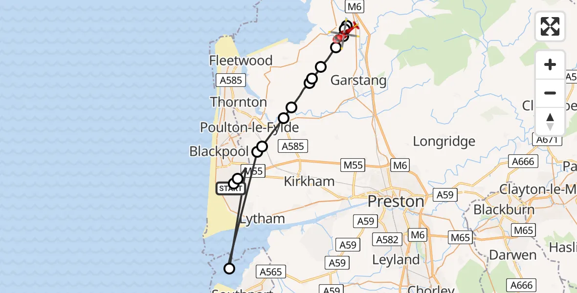
On Thursday, 23 April 2026 at 18:36, a Air Ambulance Helicopter departed from Blackpool Airport to Cockerham. It was the Air Ambulance Helicopter with registration number G-NWAA. The flight lasted 9 minutes. During that period, the aircraft travelled 34 miles at an average speed of 237 miles per hour at a maximum altitude of 800 feet.
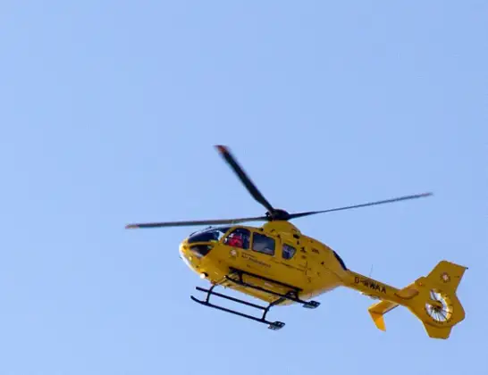
Helicopter: G-NWAA
The helicopter G-NWAA is used as a air ambulance helicopter. The main purpose of this aircraft is to transport a Mobile Medical Team to an incident as quickly as possible, enabling the trauma doctor to provide immediate first aid on site. The aircraft is flying this flight as Air Ambulance Helicopter.
Photo: David P Howard
35 miles
800 feet
237 mph
9 minutes
18:36
18:44

Route
Lancaster Canal towpath, Lancashire18:44
Cockerham, Lancashire18:44
Forton, Lancashire18:43
Cockerham, Lancashire18:43
Lancaster, Lancashire18:42
Winmarleigh, Lancashire18:41
Wyre, Lancashire18:41
Pilling, Lancashire18:41
Wyre, Lancashire18:40
Little Eccleston, Lancashire18:39
Singleton, Lancashire18:38
Staining, Lancashire18:38
Sefton, Southport18:37
Marton Moss Side, Blackpool18:36
Common Edge, Blackpool18:36
Amy Johnson Way, Blackpool18:36
Live flights
Today
Air Ambulance Helicopter to Langwathby, B641223 Apr 22:37
Air Ambulance Helicopter to Poole, Plemont Close23 Apr 22:36
Police Helicopter to Hawarden Airport23 Apr 22:33
Air Ambulance Helicopter to Cwrt, A49323 Apr 22:13
Police Helicopter to Almondsbury Helicopter Base23 Apr 22:12
Police Helicopter to Glasgow, Barrhead Road23 Apr 22:09
Flights Cockerham
Helicopter flights on your website?
You can easily display helicopter flights on your own website. Use the embed code.
