Air Ambulance Helicopter to Quorn, Castledine Street
Thursday, 23 April 2026 | 18:26 | From Willoughby on the Wolds
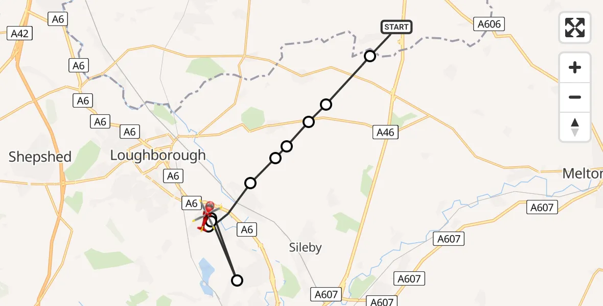
On Thursday, 23 April 2026 at 18:26, a Air Ambulance Helicopter departed from Willoughby on the Wolds to Quorn. It was the Air Ambulance Helicopter with registration number G-DRLA. The flight lasted 5 minutes. During that period, the aircraft travelled 13 miles at an average speed of 161 miles per hour at a maximum altitude of 550 feet.
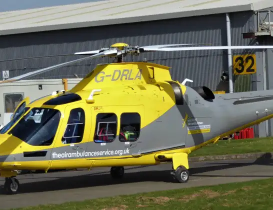
Helicopter: G-DRLA
The helicopter G-DRLA is used as an ambulance helicopter. The helicopter is equipped with a stretcher for transporting patients. The helicopter is often used to transport to hospitals.
Photo: Alec Wilson
13 miles
550 feet
161 mph
5 minutes
18:26
18:30

Route
Castledine Street, Leicestershire18:30
Barrow upon Soar, Leicestershire18:30
Quorn, Leicestershire18:30
Barrow upon Soar, Leicestershire18:30
Rothley, Leicestershire18:29
Barrow upon Soar, Leicestershire18:28
Walton on the Wolds, Leicestershire18:27
Burton on the Wolds, Leicestershire18:27
Horse Leys Farm Airstrip, Loughborough, Leicestershire18:27
Burton on the Wolds, Leicestershire18:27
Wymeswold, Leicestershire18:26
Bryans Lane, Nottinghamshire18:26
Live flights
Air Ambulance Helicopter on its way from Poole23 Apr 23:02
Police Helicopter on its way from Patchway23 Apr 22:12
Today
Air Ambulance Helicopter to Poole, Plemont Close23 Apr 22:36
Air Ambulance Helicopter to Cwrt, A49323 Apr 22:13
Police Helicopter to Glasgow, Barrhead Road23 Apr 22:09
Flights Quorn
Air Ambulance Helicopter to Quorn, Cradock Drive23 Apr 18:32
Helicopter flights on your website?
You can easily display helicopter flights on your own website. Use the embed code.
