Air Ambulance Helicopter to Bailrigg, Burrow Heights Lane
Thursday, 23 April 2026 | 11:20 | From Blackpool Airport
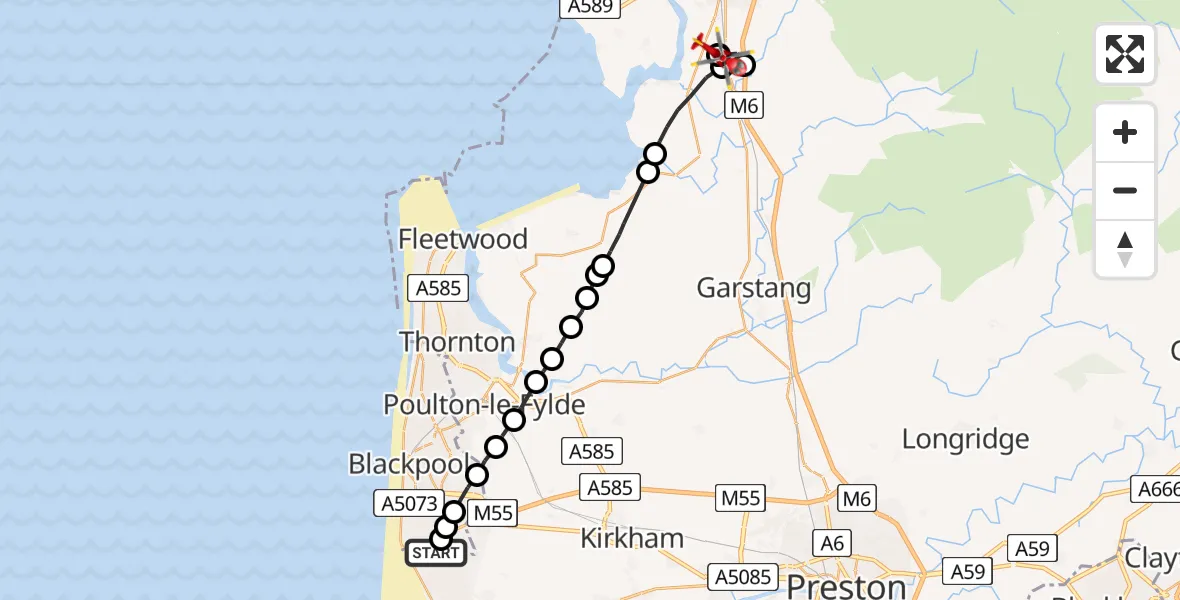
On Thursday, 23 April 2026 at 11:20, a Air Ambulance Helicopter departed from Blackpool Airport to Bailrigg. It was the Air Ambulance Helicopter with registration number G-NWAA. The flight lasted 12 minutes. During that period, the aircraft travelled 22 miles at an average speed of 117 miles per hour at a maximum altitude of 1025 feet.
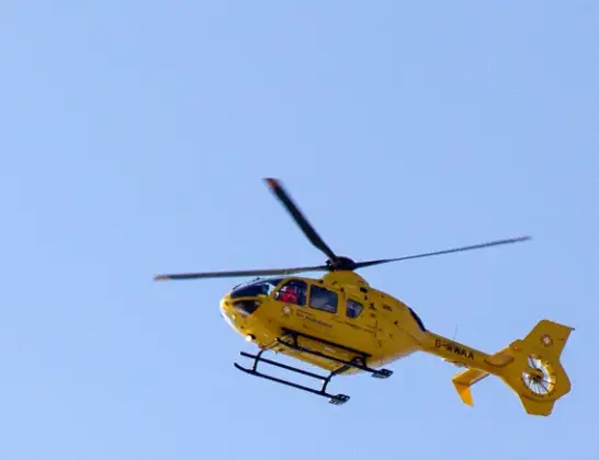
Helicopter: G-NWAA
The helicopter G-NWAA is used as a air ambulance helicopter. The main purpose of this aircraft is to transport a Mobile Medical Team to an incident as quickly as possible, enabling the trauma doctor to provide immediate first aid on site. The aircraft is flying this flight as Air Ambulance Helicopter.
Photo: David P Howard
23 miles
1025 feet
117 mph
12 minutes
11:20
11:32

Route
Burrow Heights Lane, Lancashire11:32
Bailrigg, Lancashire11:30
Ellel, Lancashire11:29
Bailrigg, Lancashire11:29
Ellel, Lancashire11:28
Lancaster, Lancashire11:27
Cockerham, Lancashire11:27
Pilling, Lancashire11:25
Wyre, Lancashire11:25
Brook Farm Ultralight Airstrip, Pilling, Lancashire11:24
Wyre, Lancashire11:24
Hambleton, Lancashire11:23
Wyre, Lancashire11:23
Singleton, Lancashire11:22
Hardhorn, Lancashire11:22
Staining, Lancashire11:22
Blackpool, Blackpool11:21
Rona Avenue, Blackpool11:21
Common Edge, Blackpool11:20
Blackpool Airport, Blackpool11:20
Live flights
Today
Air Ambulance Helicopter to Langwathby, B641223 Apr 22:37
Air Ambulance Helicopter to Poole, Plemont Close23 Apr 22:36
Police Helicopter to Hawarden Airport23 Apr 22:33
Air Ambulance Helicopter to Cwrt, A49323 Apr 22:13
Police Helicopter to Almondsbury Helicopter Base23 Apr 22:12
Police Helicopter to Glasgow, Barrhead Road23 Apr 22:09
Flights Bailrigg
Air Ambulance Helicopter to Blackpool Airport23 Apr 11:56
Helicopter flights on your website?
You can easily display helicopter flights on your own website. Use the embed code.
