Air Ambulance Helicopter to Mansbridge, Mansbridge Road
Thursday, 23 April 2026 | 9:59 | From Curbridge
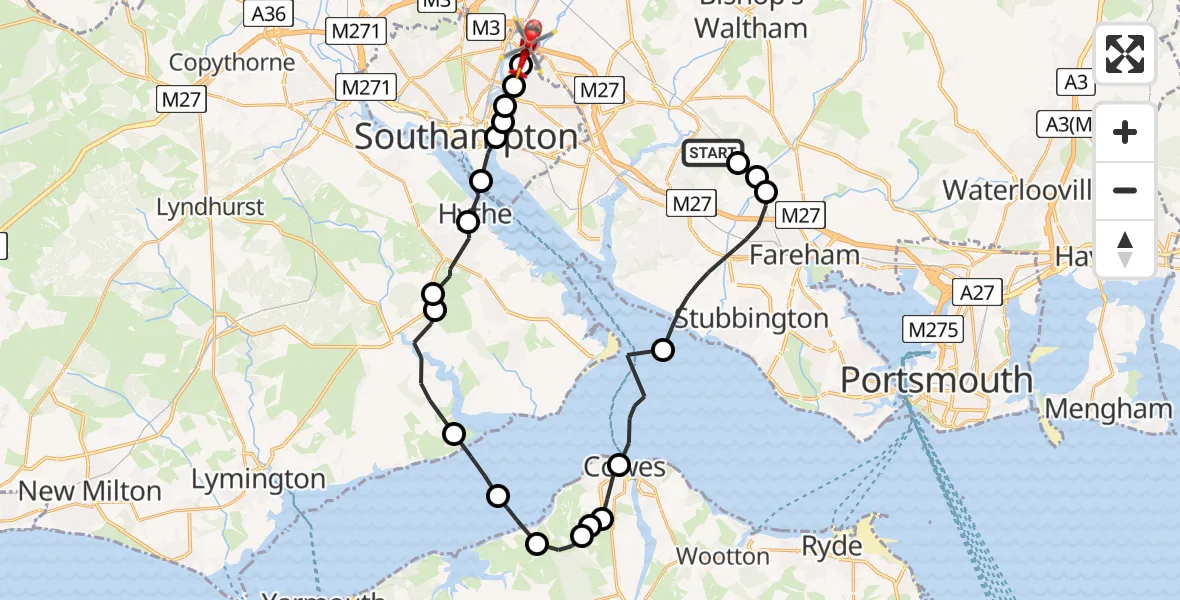
On Thursday, 23 April 2026 at 9:59, a Air Ambulance Helicopter departed from Curbridge to Mansbridge. It was the Air Ambulance Helicopter with registration number G-HIOW. The flight lasted 15 minutes. During that period, the aircraft travelled 33 miles at an average speed of 134 miles per hour at a maximum altitude of 2325 feet.
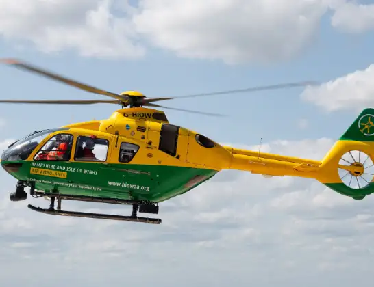
Helicopter: G-HIOW
The helicopter G-HIOW is used as a air ambulance helicopter. The main purpose of this aircraft is to transport a Mobile Medical Team to an incident as quickly as possible, enabling the trauma doctor to provide immediate first aid on site. The aircraft is flying this flight as Air Ambulance Helicopter.
Photo: JF2608
33 miles
2325 feet
134 mph
15 minutes
09:59
10:13

Route
Mansbridge Road, Southampton10:13
Townhill Park, Southampton10:13
Midanbury, Southampton10:13
Merry Oak, Southampton10:12
Southampton10:12
St Mary's, Southampton10:12
Southampton10:11
Hythe, Hampshire10:11
Dibden Purlieu, Hampshire10:10
Little Holbury, Hampshire10:09
Beaulieu, Hampshire10:08
English Channel10:07
Porchfield, Isle of Wight10:06
Northwood, Isle of Wight10:06
Gurnard, Isle of Wight10:05
Northwood, Isle of Wight10:05
Cowes, Isle of Wight10:04
English Channel10:03
Fareham, Hampshire10:00
Wickham, Hampshire10:00
Knowle, Hampshire09:59
Curbridge, Hampshire09:59
Live flights
Today
Flights Mansbridge
Air Ambulance Helicopter to Mansbridge, M272 Jul 12:30
Air Ambulance Helicopter to Mansbridge, M2728 Jun 16:07
Flights Curbridge
Air Ambulance Helicopter to Thruxton19 Apr 03:13
Air Ambulance Helicopter to Curbridge19 Apr 01:52
Air Ambulance Helicopter to Kimpton, Down Road25 Mar 00:09
Helicopter flights on your website?
You can easily display helicopter flights on your own website. Use the embed code.
