Air Ambulance Helicopter to Curbridge, Agrimony Close
Tuesday, 24 March 2026 | 23:15 | From Whiteley
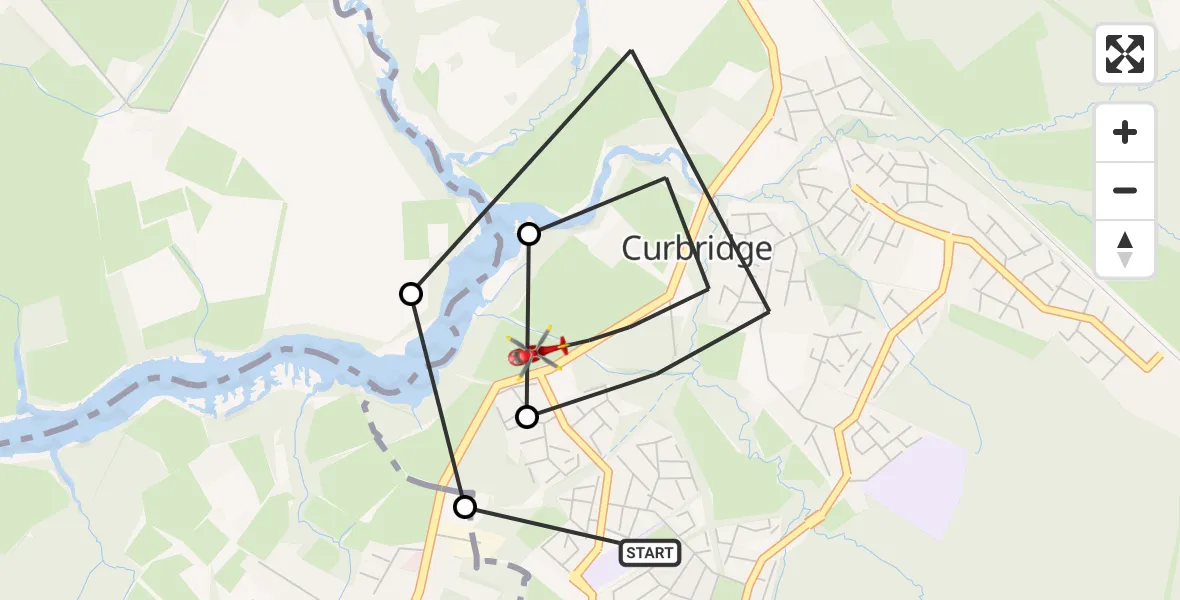
On Tuesday, 24 March 2026 at 23:15, a Air Ambulance Helicopter departed from Whiteley to Curbridge. It was the Air Ambulance Helicopter with registration number G-HIOW. The flight lasted 4 minutes. During that period, the aircraft travelled 4 miles at an average speed of 57 miles per hour at a maximum altitude of 875 feet.
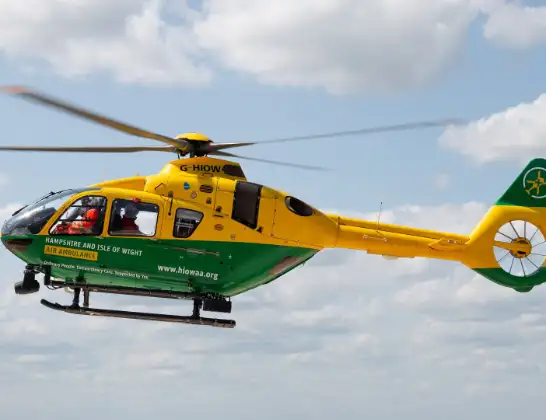
Helicopter: G-HIOW
The helicopter G-HIOW is used as a air ambulance helicopter. The main purpose of this aircraft is to transport a Mobile Medical Team to an incident as quickly as possible, enabling the trauma doctor to provide immediate first aid on site. The aircraft is flying this flight as Air Ambulance Helicopter.
Photo: JF2608
4 miles
875 feet
57 mph
4 minutes
23:15
23:19

Route
Curbridge, Winchester23:19
Agrimony Close, Winchester23:18
Botley Road, Winchester23:18
Whiteley, Winchester23:17
Chanterelle Road, Winchester23:17
Botley Road, Winchester23:16
Burridge, Fareham23:16
Whiteley, Winchester23:15
Live flights
Today
Police Helicopter to Ewelme20:13:43
Flights Curbridge
Air Ambulance Helicopter to Thruxton19 Apr 03:13
Air Ambulance Helicopter to Curbridge19 Apr 01:52
Air Ambulance Helicopter to Kimpton, Down Road25 Mar 00:09
Flights Whiteley
Air Ambulance Helicopter to Thruxton Aerodrome23 Jan 15:49
Helicopter flights on your website?
You can easily display helicopter flights on your own website. Use the embed code.
