Air Ambulance Helicopter to City of Westminster, West Carriage Drive
Tuesday, 21 April 2026 | 19:28 | From City of Westminster
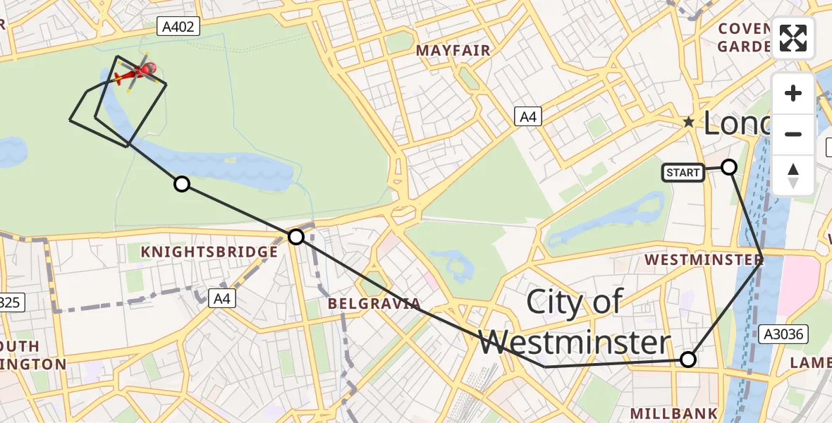
On Tuesday, 21 April 2026 at 19:28, a Air Ambulance Helicopter departed from City of Westminster to City of Westminster. It was the Air Ambulance Helicopter with registration number G-LAAB. The flight lasted 4 minutes. During that period, the aircraft travelled 4 miles at an average speed of 64 miles per hour at a maximum altitude of 575 feet.
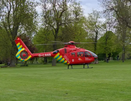
Helicopter: G-LAAB
The helicopter G-LAAB is used as a air ambulance helicopter. The main purpose of this aircraft is to transport a Mobile Medical Team to an incident as quickly as possible, enabling the trauma doctor to provide immediate first aid on site. The aircraft is flying this flight as Air Ambulance Helicopter.
Photo: Celsoazevedo
5 miles
575 feet
64 mph
5 minutes
19:28
19:32

Route
West Carriage Drive, Greater London - Westminster19:32
City of Westminster, Westminster19:30
City of Westminster, Kensington and Chelsea19:30
City of Westminster, Westminster19:29
Lambeth, Westminster19:29
Whitehall, Greater London - Westminster19:28
Live flights
Coastguard Helicopter on its way from Loggie21 Apr 22:13
Today
Police Helicopter to Briton Ferry, Panthowellddu21 Apr 22:49
Police Helicopter to Bournemouth Airport21 Apr 22:28
Air Ambulance Helicopter to Redhill Aerodrome21 Apr 22:14
Police Helicopter to Redhill Aerodrome21 Apr 22:13
Police Helicopter to Harborough, Sulby Road21 Apr 21:41
Police Helicopter to Skewen, Drumau Road21 Apr 21:40
Helicopter flights on your website?
You can easily display helicopter flights on your own website. Use the embed code.
