Air Ambulance Helicopter to Redhill Aerodrome
Tuesday, 21 April 2026 | 22:14 | From Tunbridge Wells Hospital Heliport
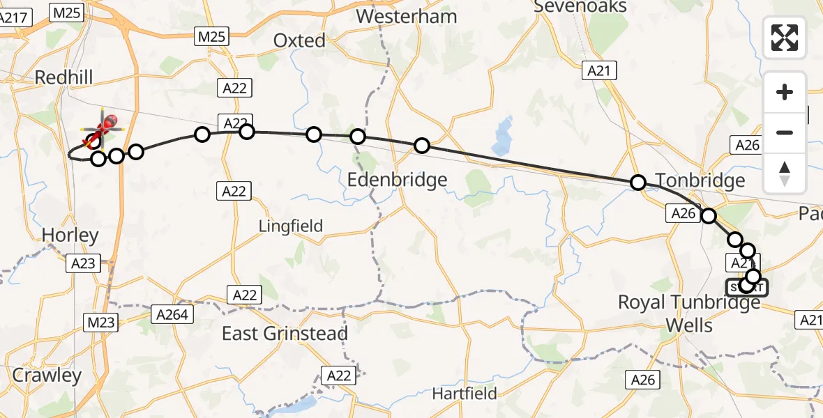
On Tuesday, 21 April 2026 at 22:14, a Air Ambulance Helicopter departed from Tunbridge Wells Hospital Heliport to Redhill Aerodrome. It was the Air Ambulance Helicopter with registration number G-KSSC. The flight lasted 15 minutes. During that period, the aircraft travelled 24 miles at an average speed of 98 miles per hour at a maximum altitude of 875 feet.
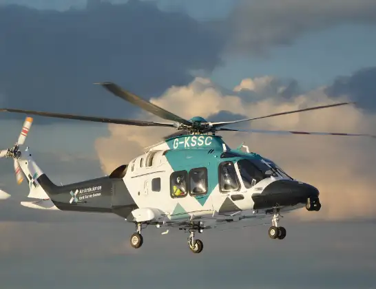
Helicopter: G-KSSC
The helicopter G-KSSC is used as a air ambulance helicopter. The main purpose of this aircraft is to transport a Mobile Medical Team to an incident as quickly as possible, enabling the trauma doctor to provide immediate first aid on site. The aircraft is flying this flight as Air Ambulance Helicopter.
Photo: Shona aakss
24 miles
875 feet
98 mph
15 minutes
22:14
22:29

Route
Redhill Aerodrome, Redhill, Surrey22:29
Redhill Aerodrome, Redhill, Surrey22:27
Redhill Aerodrome, Redhill, Surrey22:26
Salfords, Surrey22:24
Tandridge, Surrey22:24
Outwood, Surrey22:24
Tandridge, Surrey22:23
South Godstone, Surrey22:22
Crowhurst, Surrey22:22
Merle Common, Surrey22:21
Edenbridge, Kent22:20
Sevenoaks, Kent22:18
Tonbridge, Kent22:17
Capel, Kent22:16
Pembury, Kent22:16
Royal Tunbridge Wells, Kent22:16
Tunbridge Wells Hospital Heliport, Tunbridge Wells, Kent22:15
Royal Tunbridge Wells, Kent22:15
Tonbridge Road, Kent22:14
Live flights
Today
Helicopter flights on your website?
You can easily display helicopter flights on your own website. Use the embed code.
