Air Ambulance Helicopter to Fifehead Magdalen, Shaftesbury Road
Saturday, 18 April 2026 | 1:07 | From Glastonbury
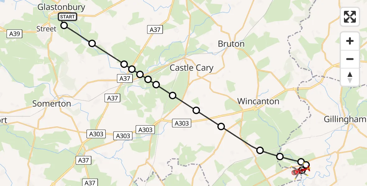
On Saturday, 18 April 2026 at 1:07, a Air Ambulance Helicopter departed from Glastonbury to Fifehead Magdalen. It was the Air Ambulance Helicopter with registration number G-DSAA. The flight lasted 13 minutes. During that period, the aircraft travelled 21 miles at an average speed of 93 miles per hour at a maximum altitude of 1000 feet.
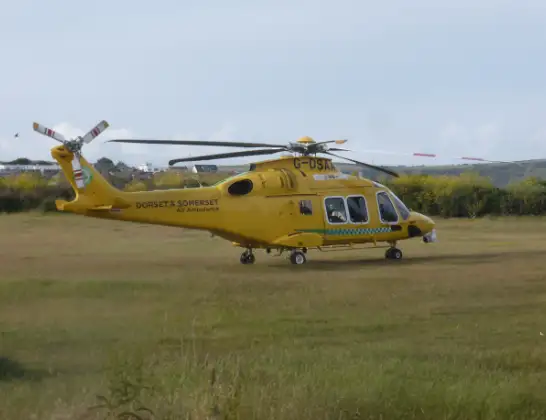
Helicopter: G-DSAA
The helicopter G-DSAA is used as a air ambulance helicopter. The main purpose of this aircraft is to transport a Mobile Medical Team to an incident as quickly as possible, enabling the trauma doctor to provide immediate first aid on site. The aircraft is flying this flight as Air Ambulance Helicopter.
Photo: Andrew Bone
21 miles
1000 feet
93 mph
14 minutes
01:07
01:21

Route
Shaftesbury Road, Dorset01:21
Fifehead Magdalen, Dorset01:21
West Stour, Dorset01:20
Fifehead Magdalen, Dorset01:20
Kington Magna, Dorset01:19
Templecombe, Somerset01:19
South Cheriton, Somerset01:17
Woolston, Somerset01:17
Galhampton, Somerset01:16
North Barrow, Somerset01:15
Lovington, Somerset01:15
Lydford-on-Fosse, Somerset01:15
Hornblotton Green, Somerset01:15
Lydford-on-Fosse, Somerset01:14
Baltonsborough, Somerset01:13
Cow Bridge Road, Somerset01:12
Glastonbury, Somerset01:07
Live flights
Today
Coastguard Helicopter to Humberside Airport3 Jul 23:55
Flights Glastonbury
Air Ambulance Helicopter to Glastonbury18 Apr 00:07
Air Ambulance Helicopter to Henstridge Airfield28 Mar 13:24
Air Ambulance Helicopter to Glastonbury28 Mar 11:34
Helicopter flights on your website?
You can easily display helicopter flights on your own website. Use the embed code.
